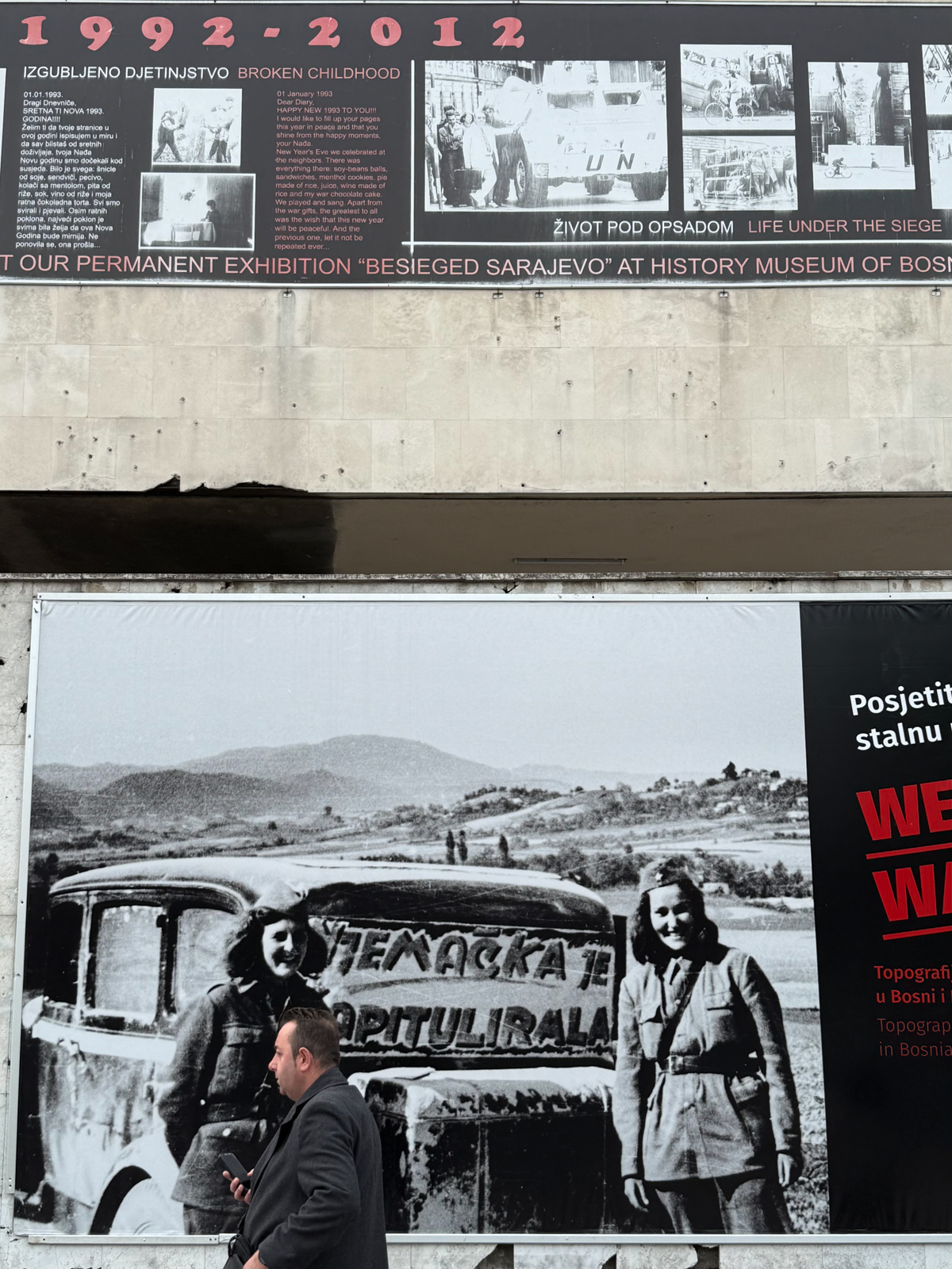
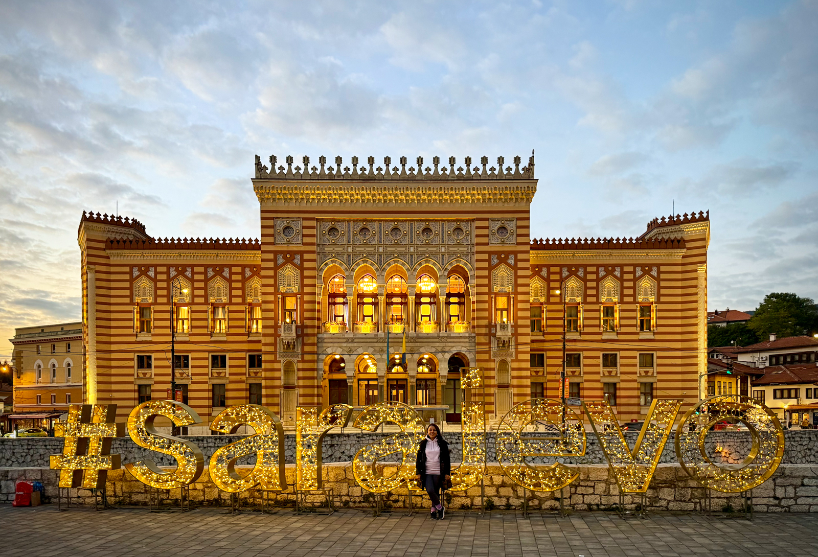
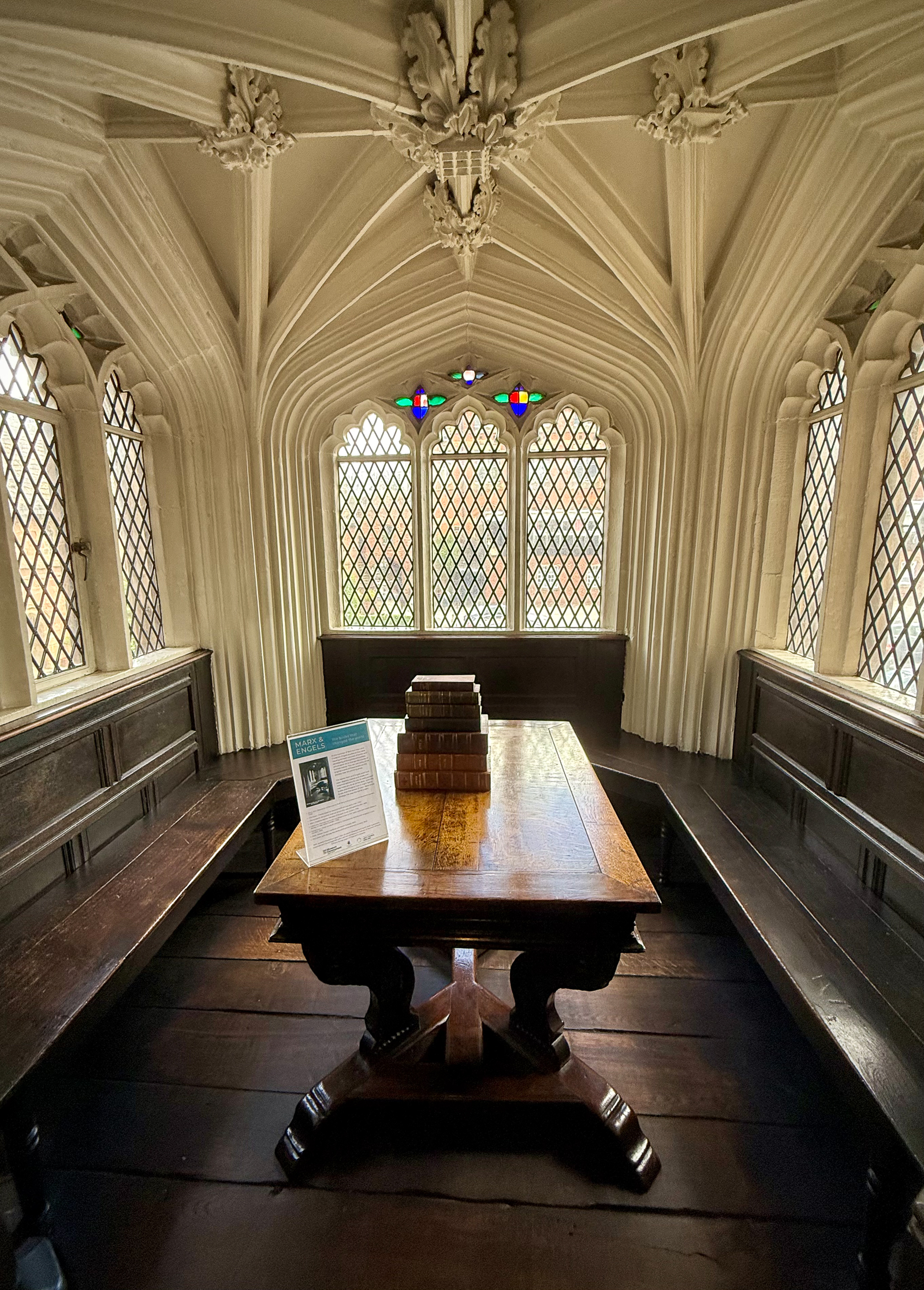
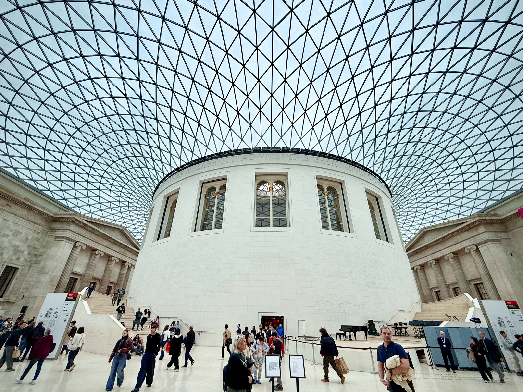
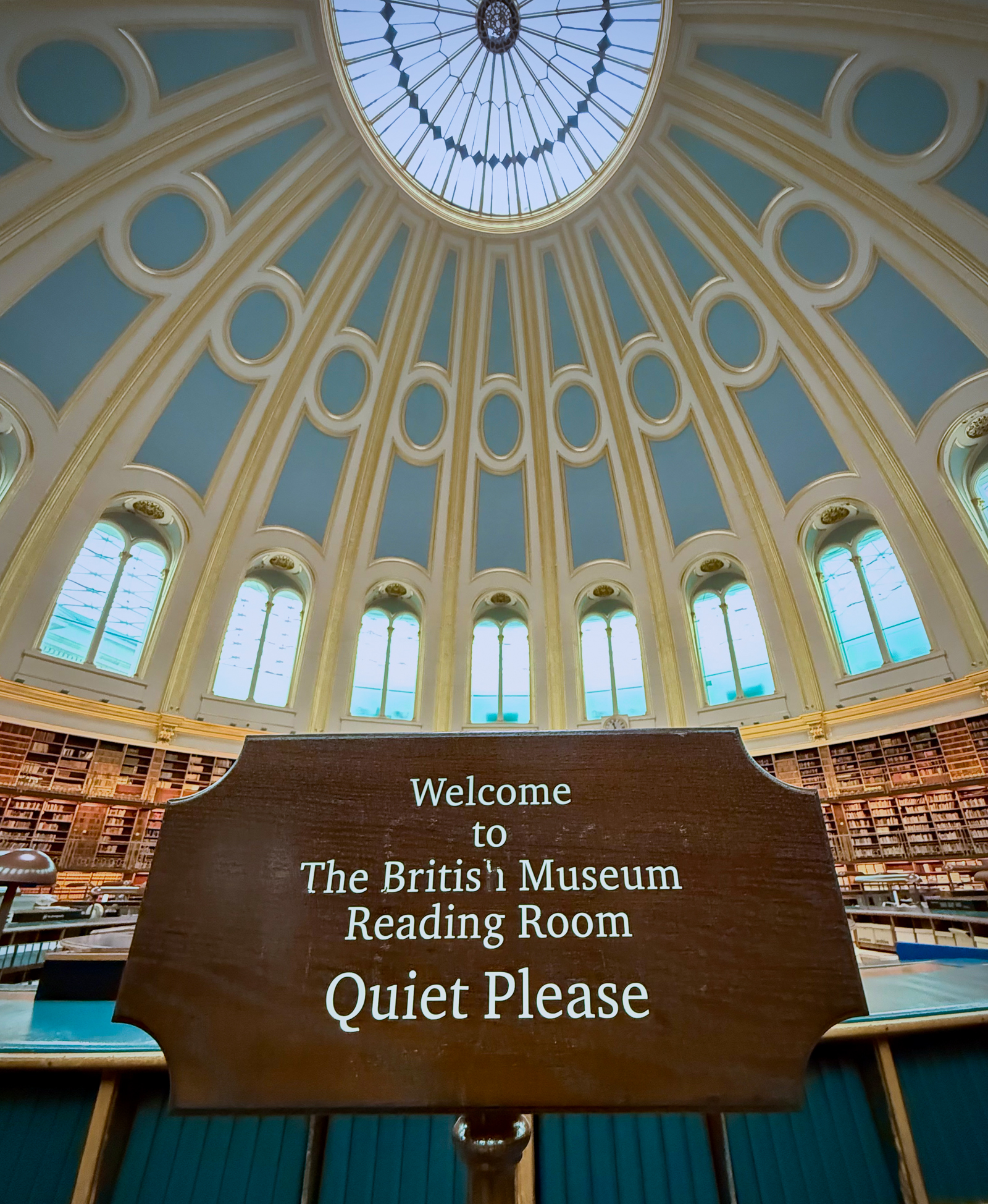
After our deeply emotional trip to Sarajevo, we returned to spend 2 ½ more weeks in London including a short trip to Oxford. Of course, on our first day back we headed straight to the British Museum. I have long fantasized about moving into the Museum and never running out of things to see. At the heart of the British Museum in the center of the largest covered public square in Europe called the Great Court is the original Reading Room. On opening day in 1857, more than 62,000 visitors came to sample the free ice cream and champaign and marvel at the new building. Among the many people who have used it since are Bram Stoker, Sir Arthur Conan Doyle, Beatrix Potter, George Orwell, Mark Twain, Virginia Woolf, H.G. Wells, Mahatma Gandhi, and Lenin. Karl Marx’s famous book Das Kapital was largely written in the Reading Room.


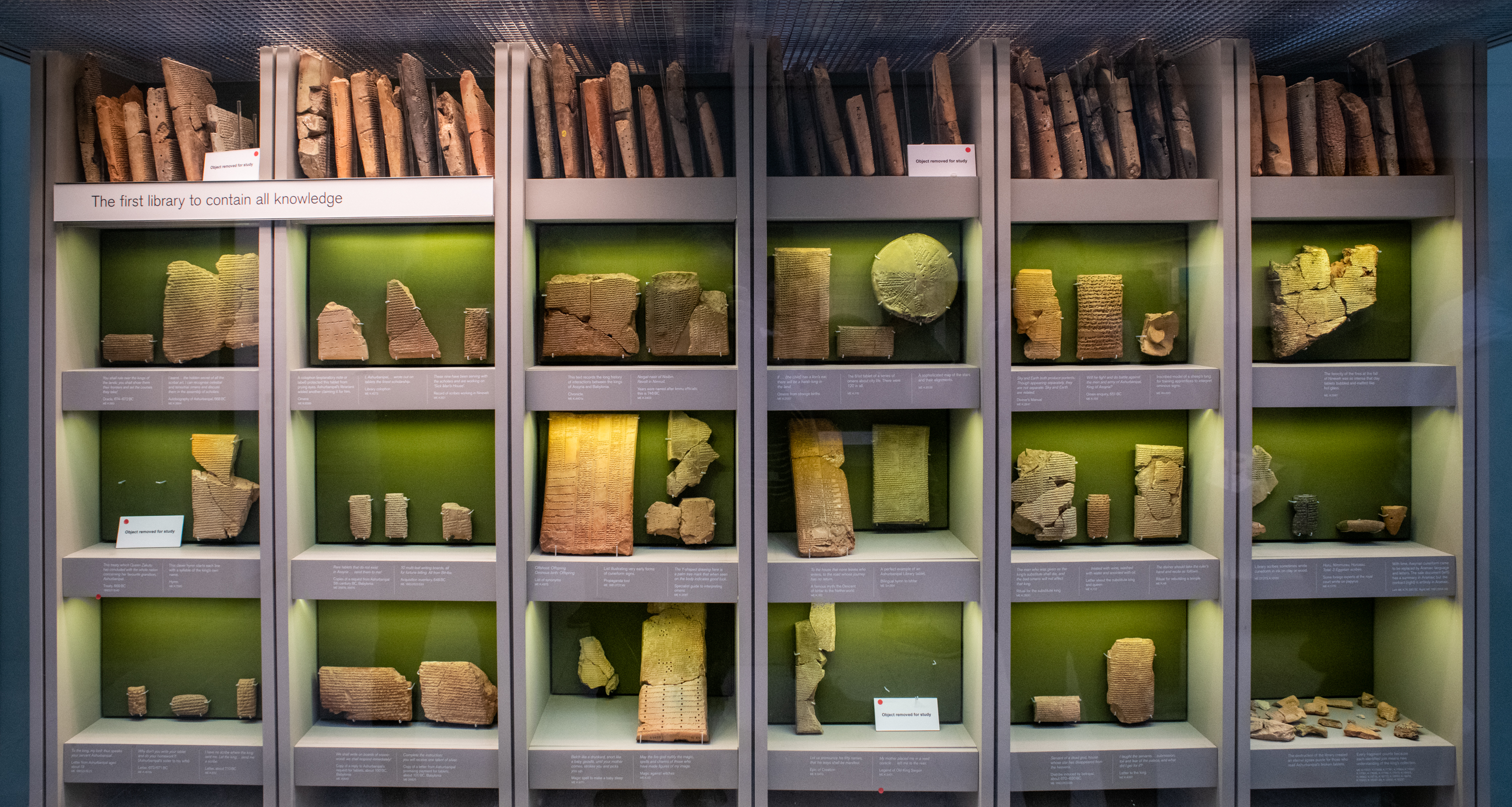
We also visited an exhibit on the Royal Library of Ashurbanipal, considered the first library in the ancient world. Discovered in what is now northern Iraq, the library is one of the most important archaeological discoveries ever made. Ancient Nineveh was consumed by fire around 612 BCE. While paper books are destroyed by fire, the clay tablets were baked harder, making them among the best-preserved documents from thousands of years of Mesopotamian history. I was almost speechless standing in front of this miraculously preserved first library.
We visited one of the other most famous artifacts in the British Museum, the Rosetta Stone. Originally discovered by Napoleon’s soldiers in Egypt in 1799, the ancient decree was written in three languages with the known Ancient Greek script providing the key to deciphering the previously unreadable Egyptian hieroglyphs. It was humbling to stand in front of this essential key to understanding ancient Egyptian writing and civilization.


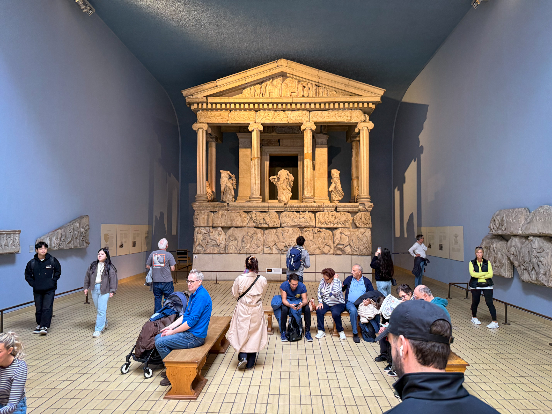
The British Museum is filled with the loot of British explorers and empire. The Elgin Marbles were on display but, curiously, I didn’t see any mention of the controversy over why Britian has not returned these stolen sculptures back to Greece. It seems that long simmering argument will take a little longer to resolve.
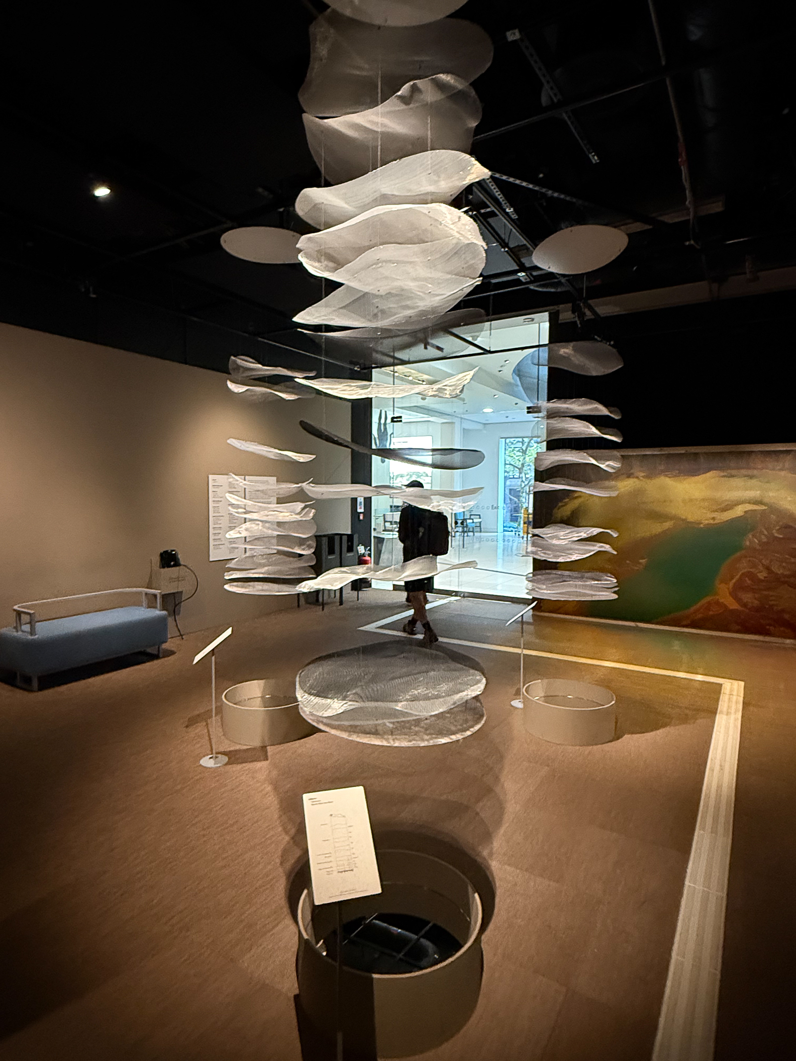
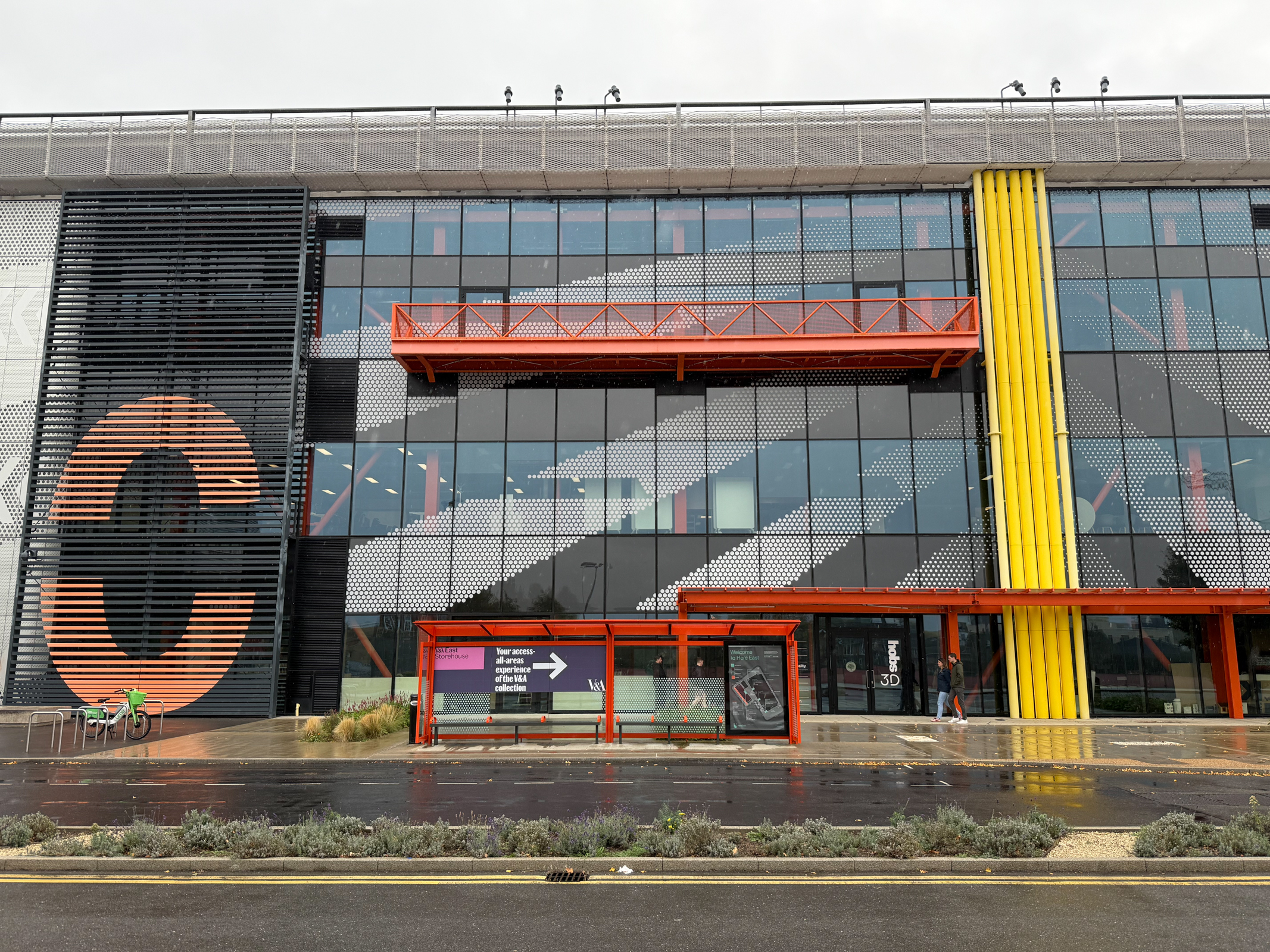
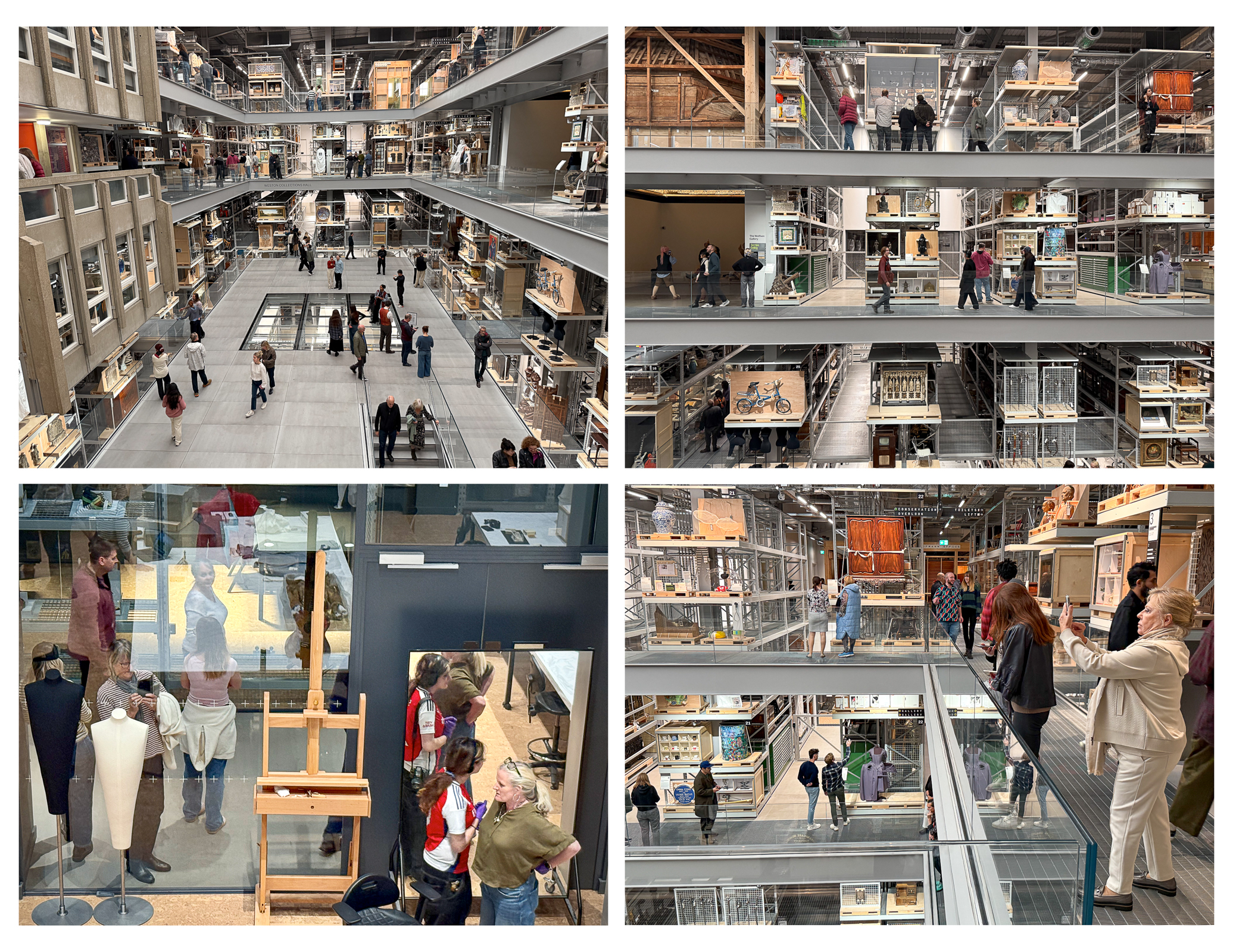
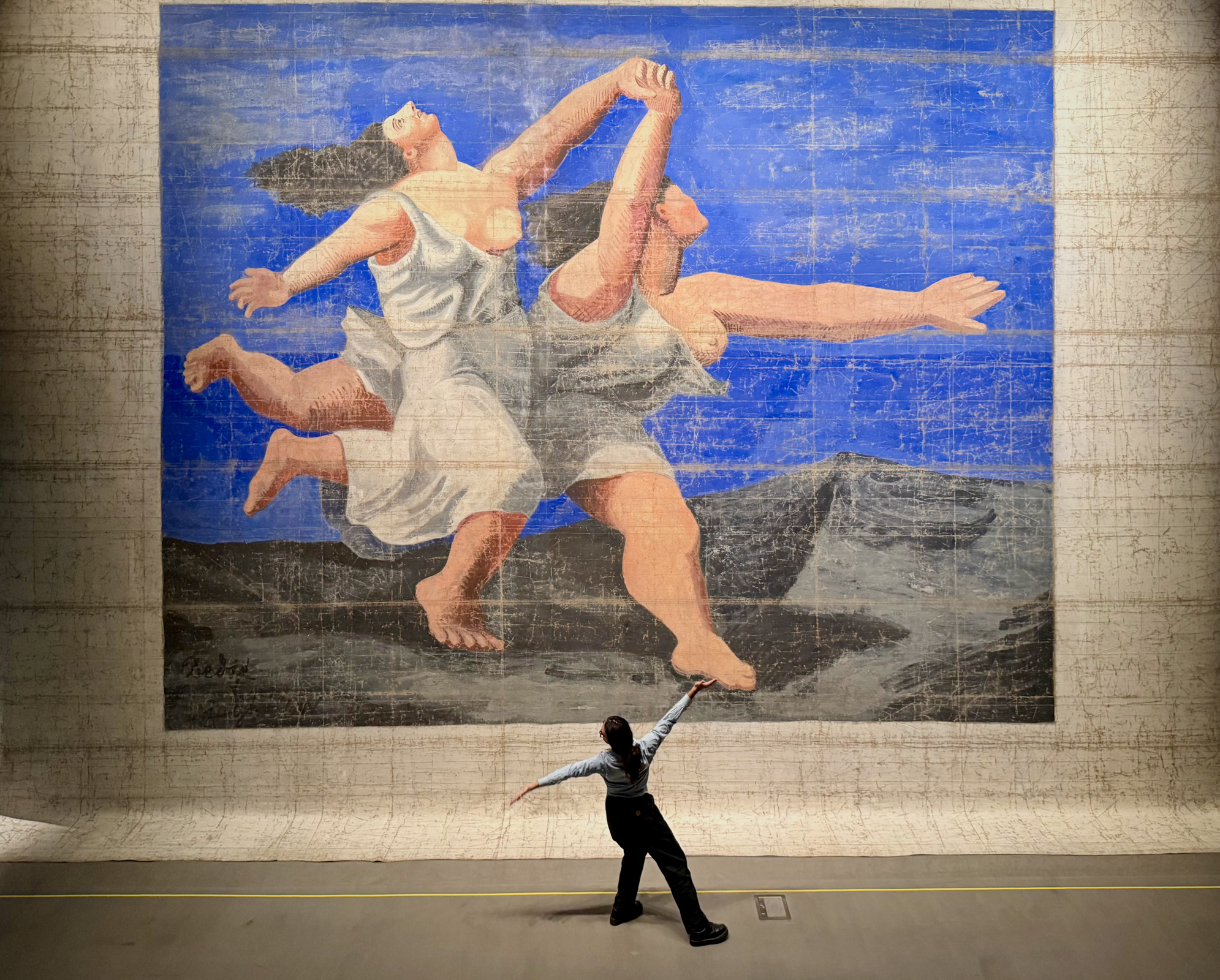
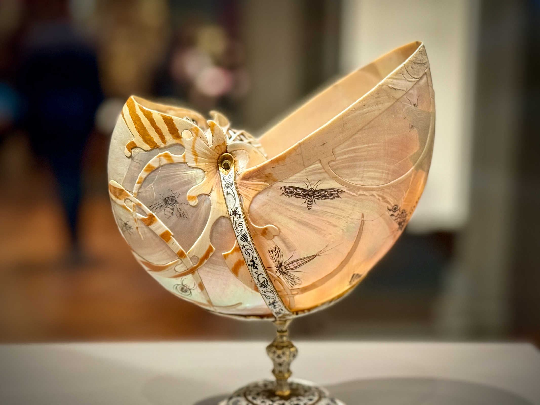
The V&A East Storehouse is a branch of the famous Victoria and Albert Museum. Spanning four levels, and bigger than 30 basketball courts, the V&A East Storehouse was a new kind of museum experience for us. It was overwhelming to be able to wander among half a million creative works, spanning every era, discipline, and corner of the globe and see the inner workings of one of the world’s leading museums. The juxtaposition of unrelated objects created a whole new dialog between art and technology, design and history. It gave us a chance to see and interact with these objects in a whole new way. We staggered out of the Storehouse overwhelmed and inspired.

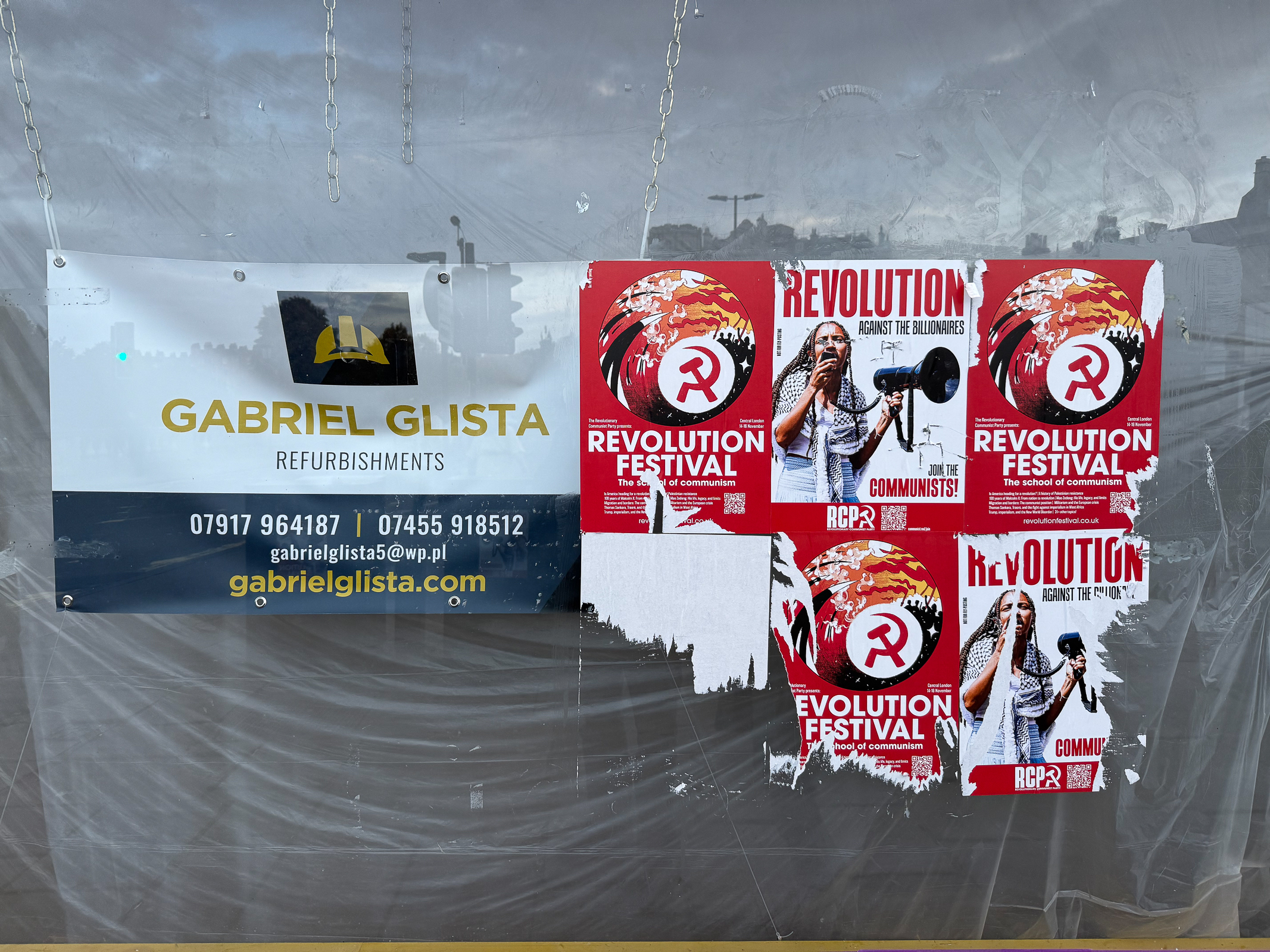
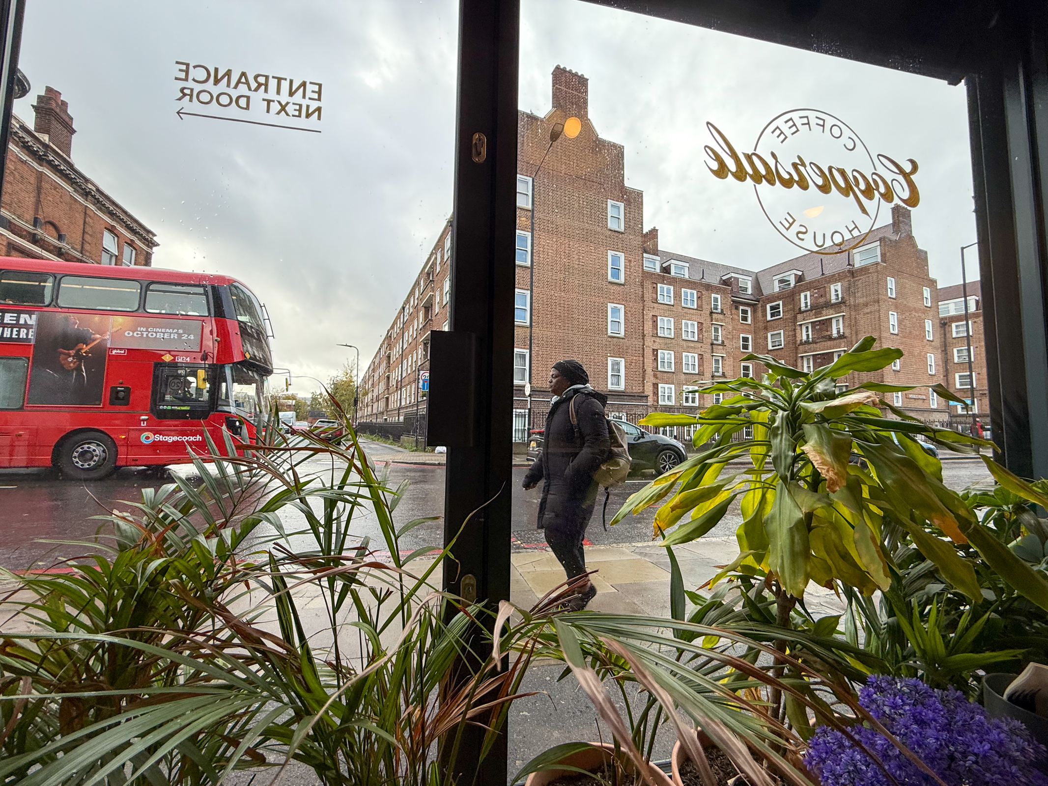
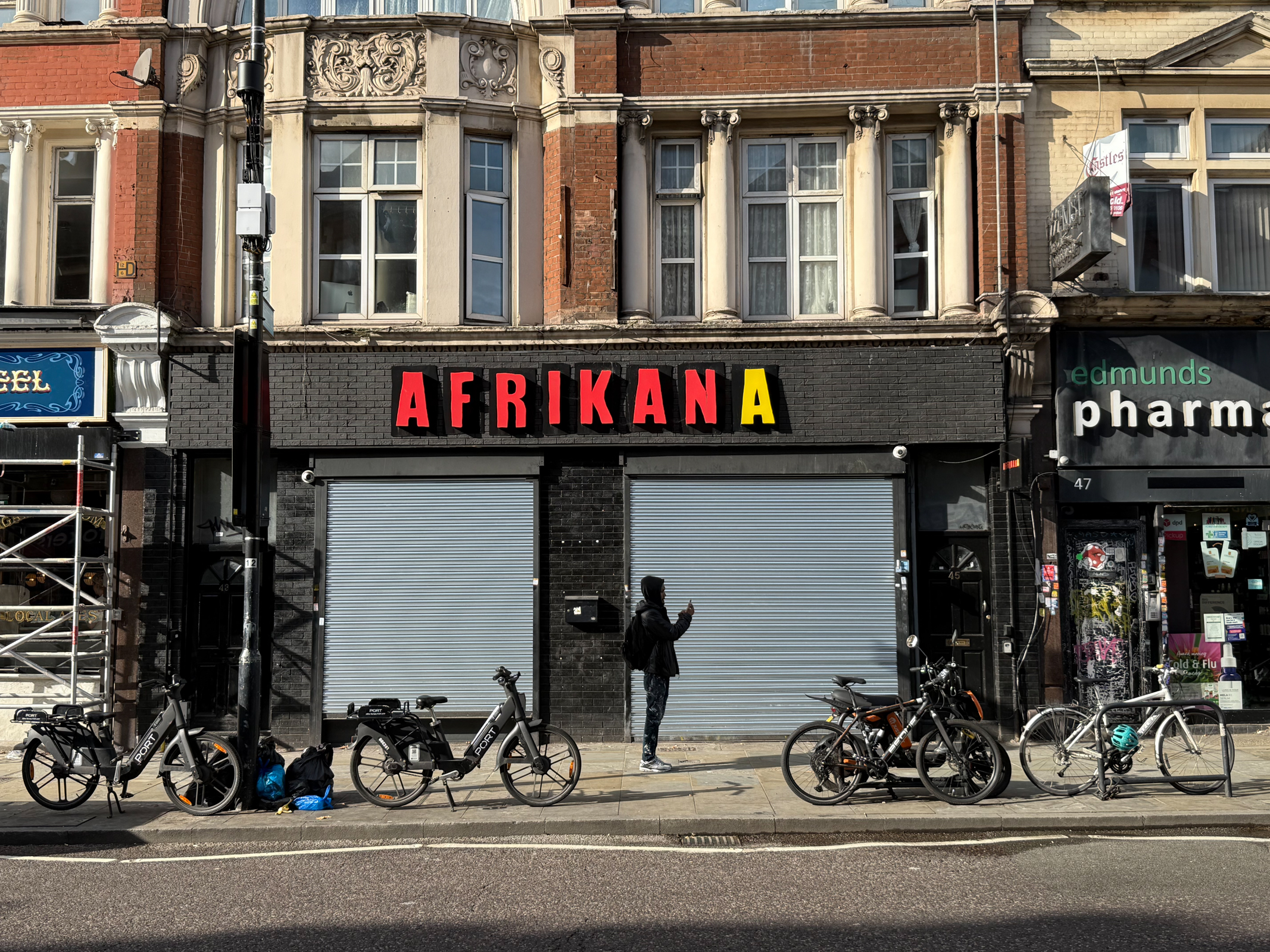
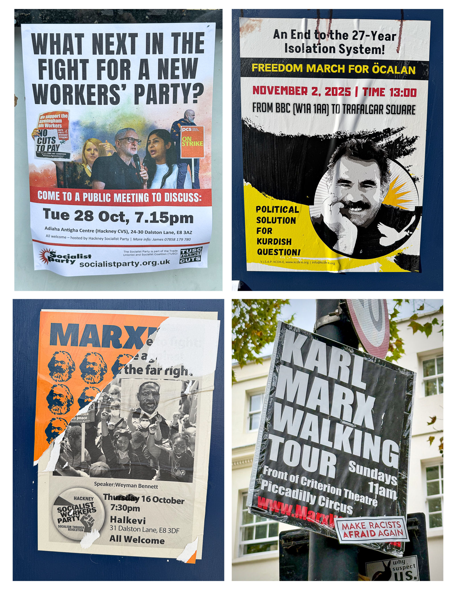
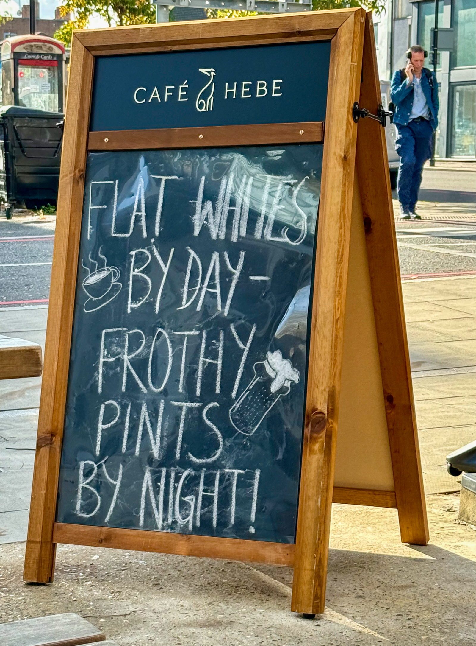
To keep the cost down on this trip, we decided to work with a group called Home Exchange to stay in people’s home for free using points from using our home in San Francisco as the exchange. We have used this system before with good results. As it turned out, we stayed in two different places during our time in London. Our first stay was in a neighborhood in East London called Hackney. At first, it seemed kind of rough and, indeed, more than 40% of children here live in poverty. This is one of the great ethnic and religious melting pots of London. As we walked the streets, it seemed that English was the last language that people spoke here. Close to central London, Hackney is the new face of East London with alternative nightlife, great ethnic restaurants, lively markets and vital independent shops. It is being gentrified but felt like the early stages of similar transitions to parts of Brooklyn or San Francisco’s Mission District, hopefully with better results for the migrants and low-income people. It was refreshing to see the diversity here as well as a healthy alternative political perspective. Hope it will last!
We were lucky to be joined on this part of our trip by our son Walker and our friends Julie and Dan from San Francisco. Having them along for much of our wanderings made the experience even better.

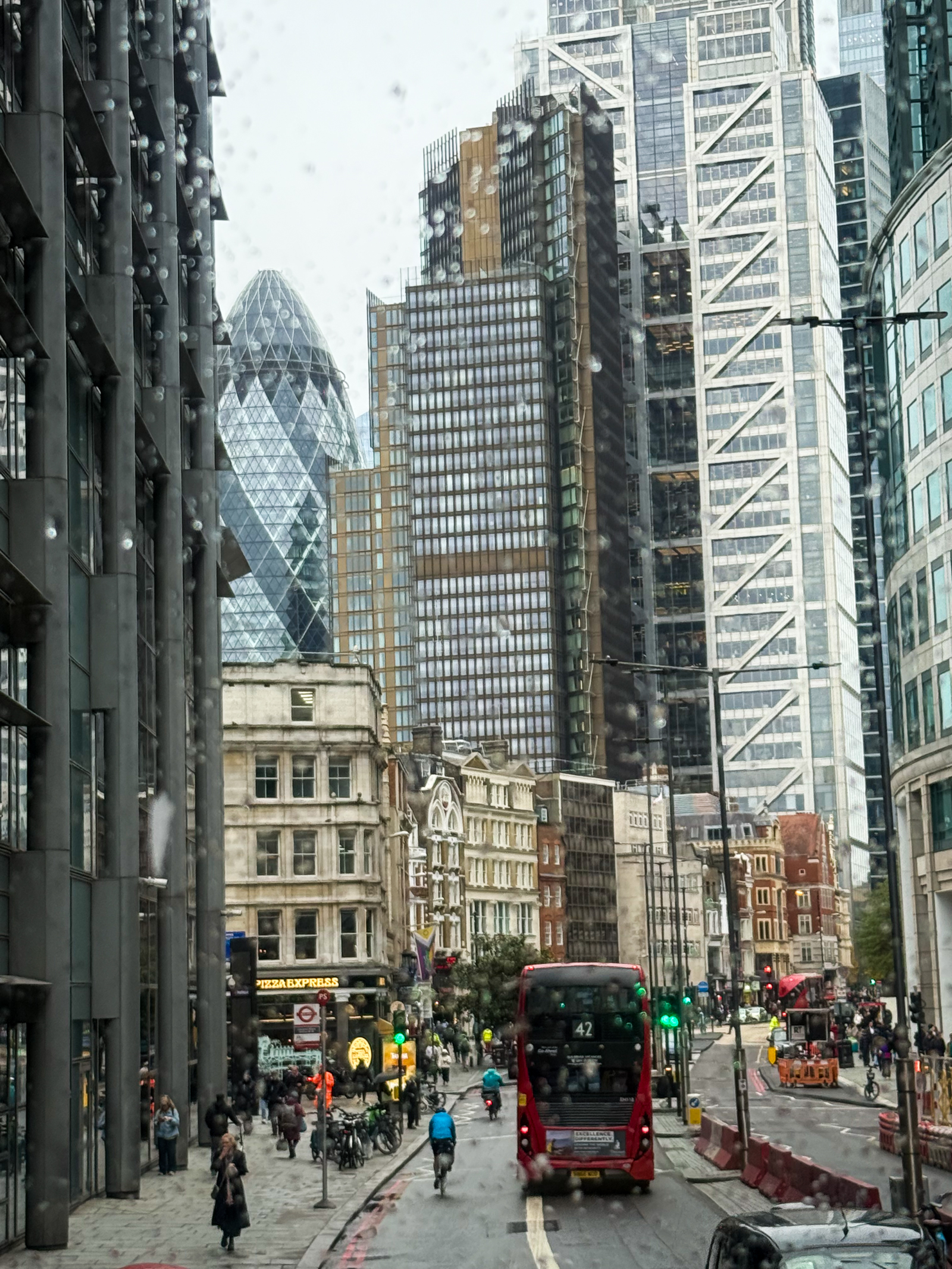
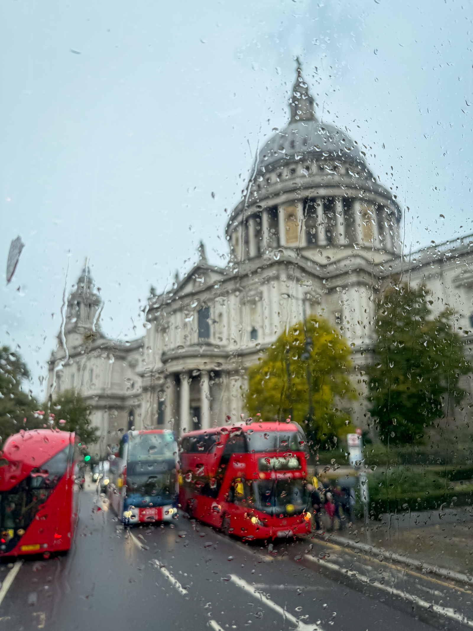
One of the great ways to see London is sitting at the front of the upper deck of a double decker bus cruising the streets. There is no better way of seeing this crazy but fascinating city, rain or shine.
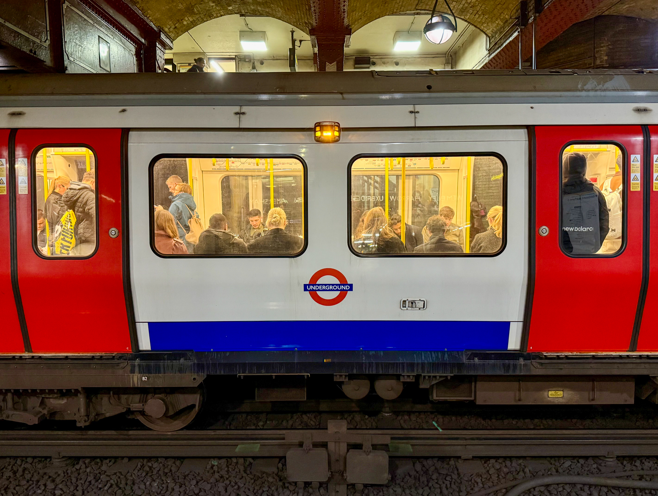
The London Underground is world’s oldest and still one of the best underground railway systems anywhere. It first opened in 1863 and has expanded to over 250 miles of track accommodating up to 5 million passengers a day. We visited one of the original stations at Baker Street on Marylebone Road. The people watching was worth the price of admission.


Another way we made our way around London was walking or taking a boat along the Thames River. This was a great way to see the contrast between London’s ultra-modern skyline and parts of the ancient waterfront.


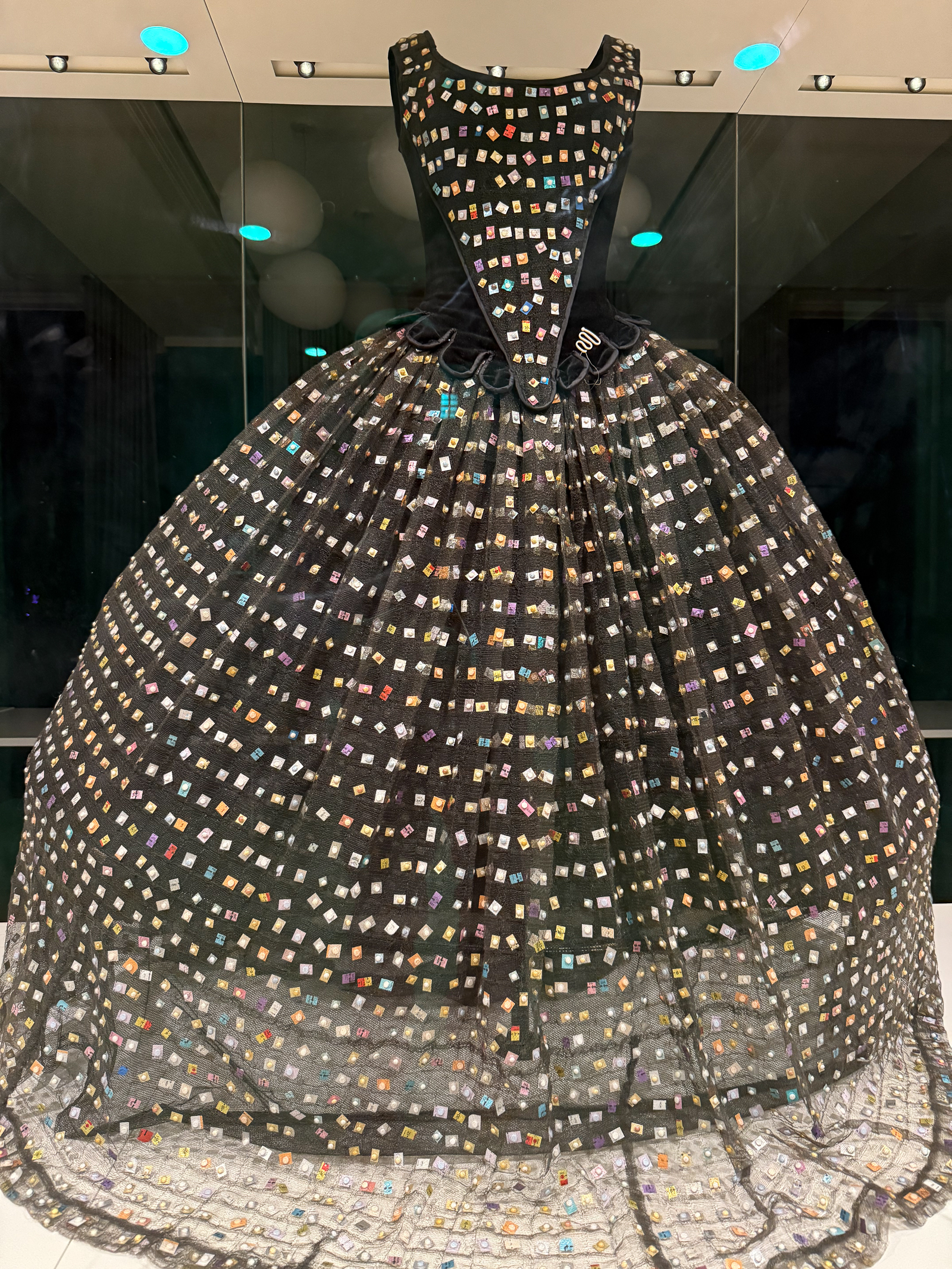
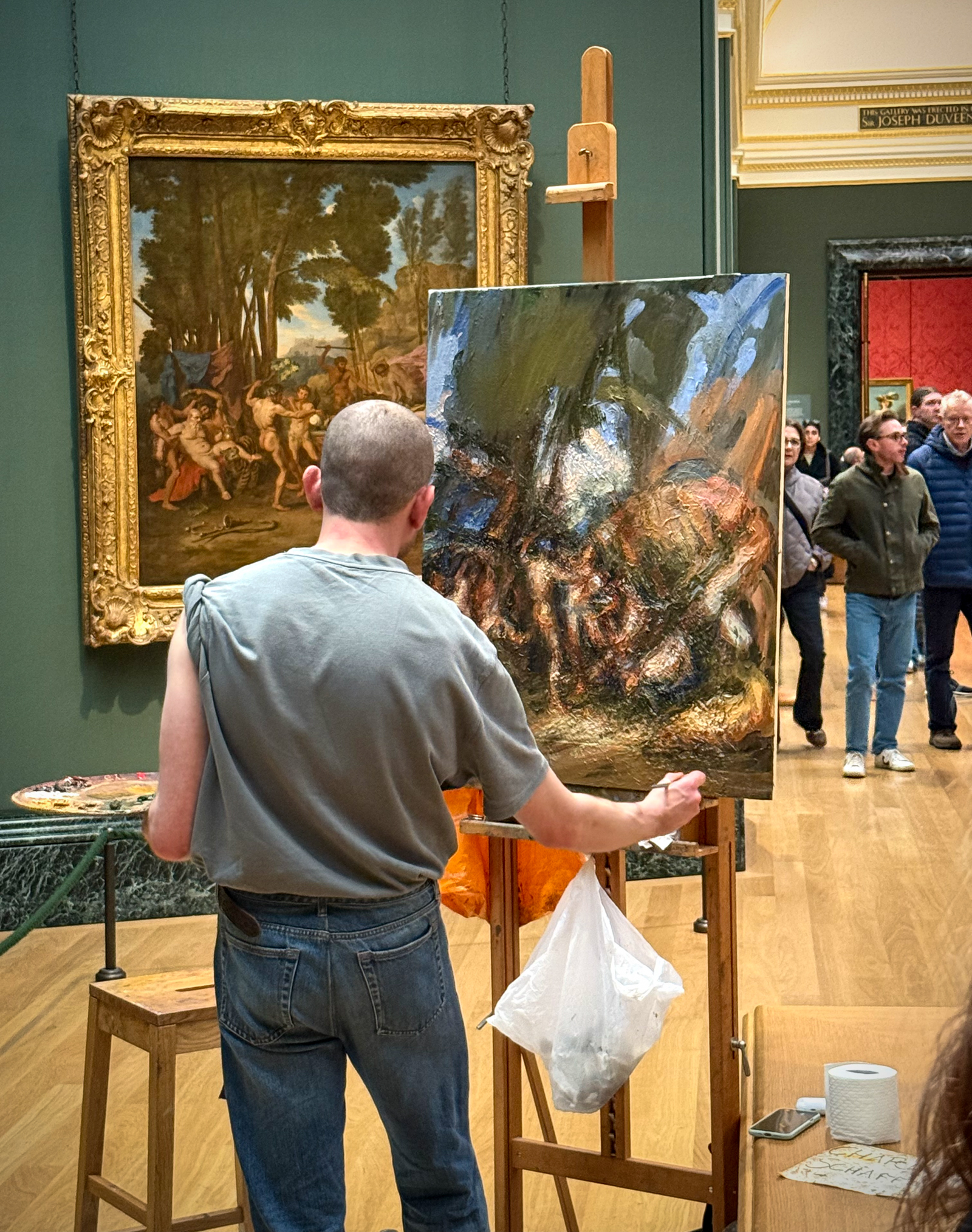
The destination for our incessant scrambling around London was the huge and incredible variety of arts, history, culture and food. And most of the museums are free! The Victoria and Albert Museum fully lived up to its great reputation and we were blown away by its rich collection of great art and just about everything else.

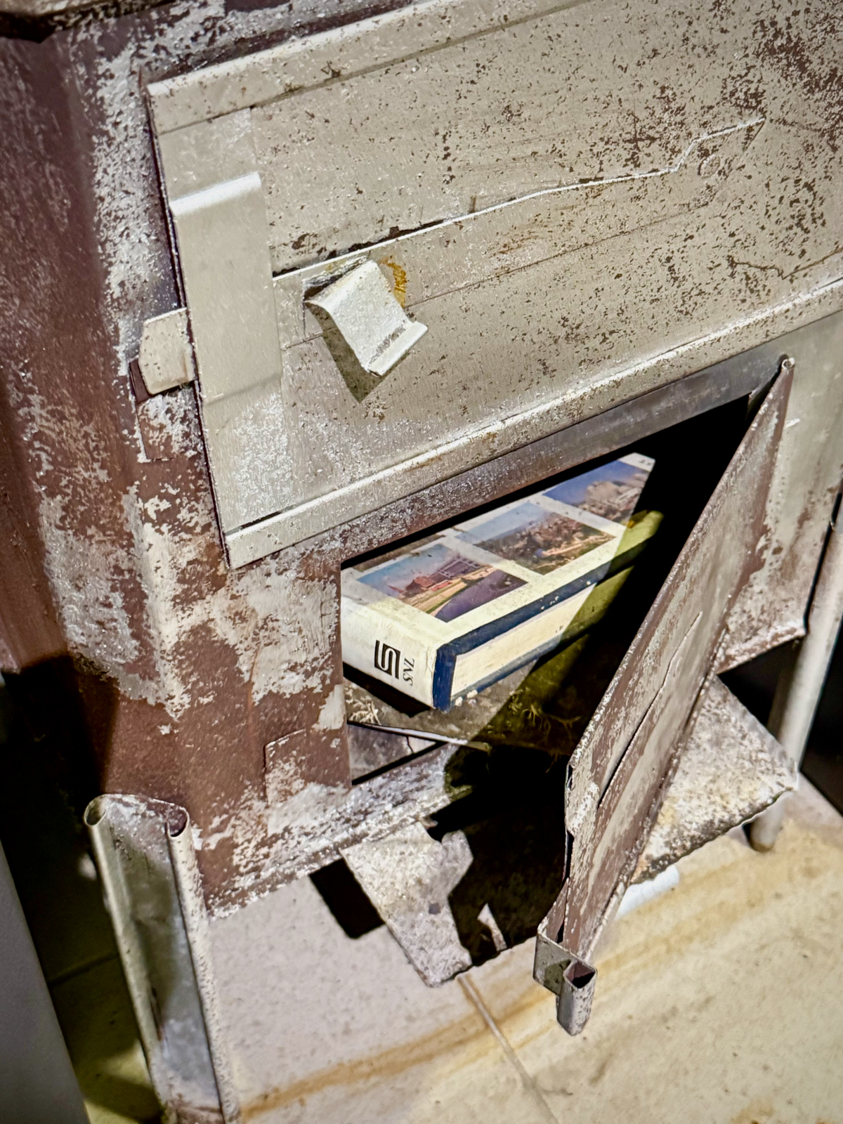
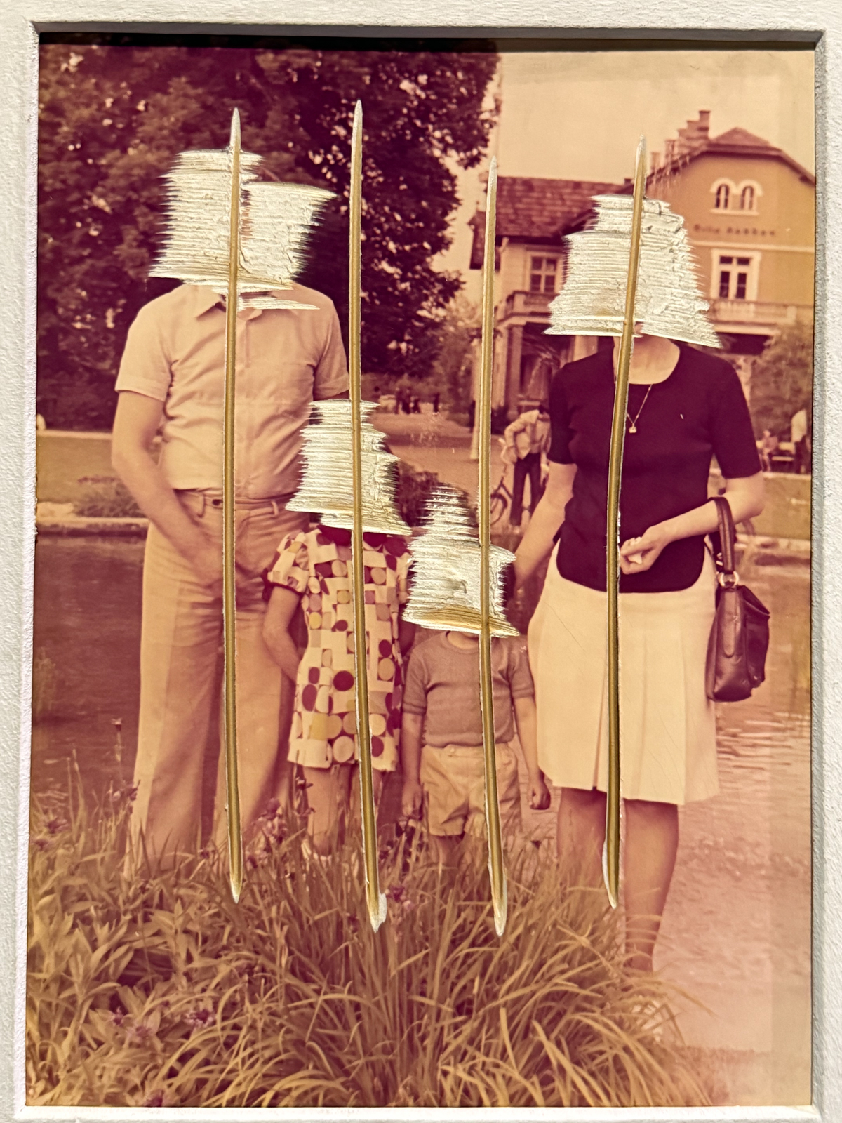
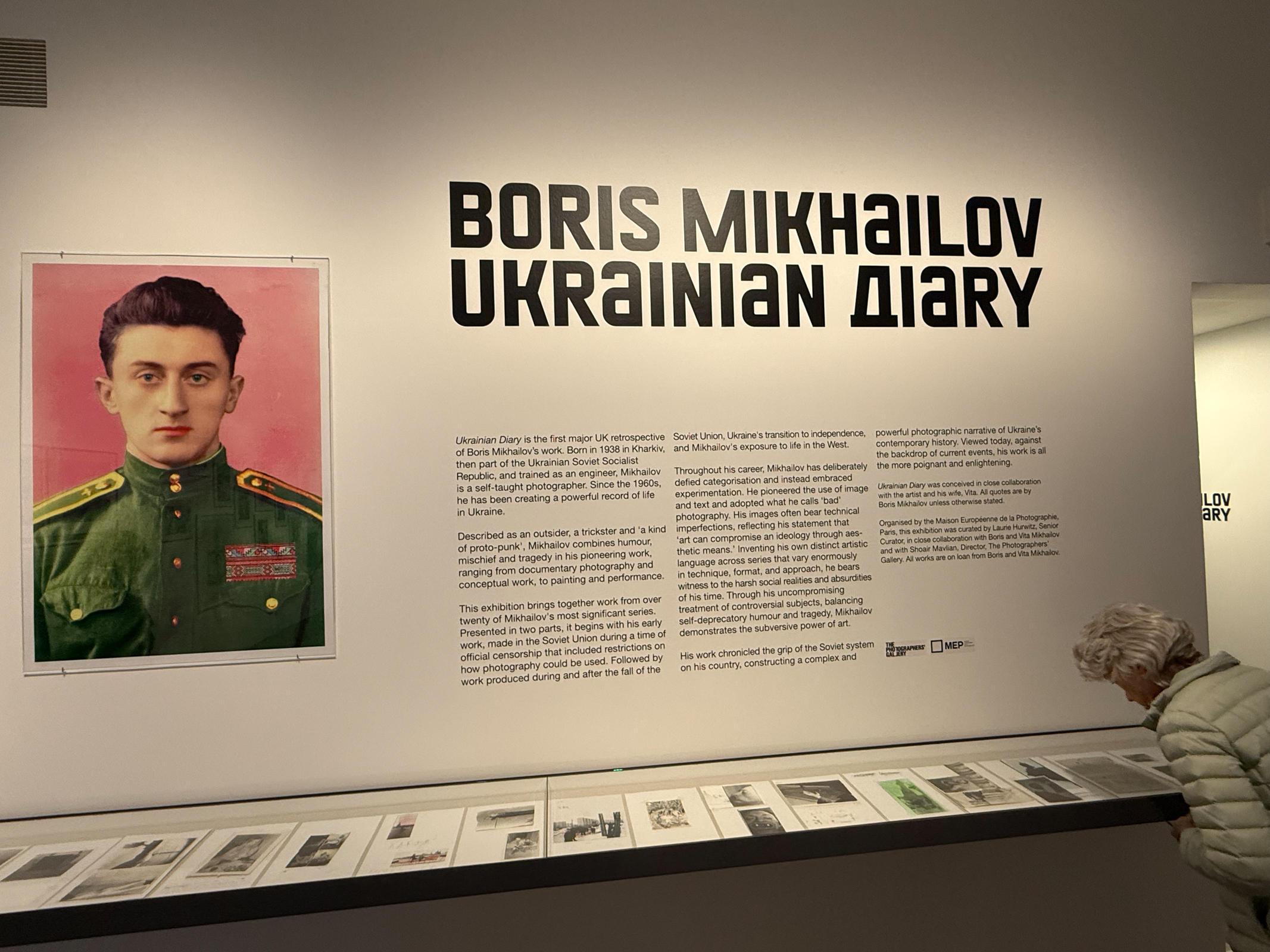
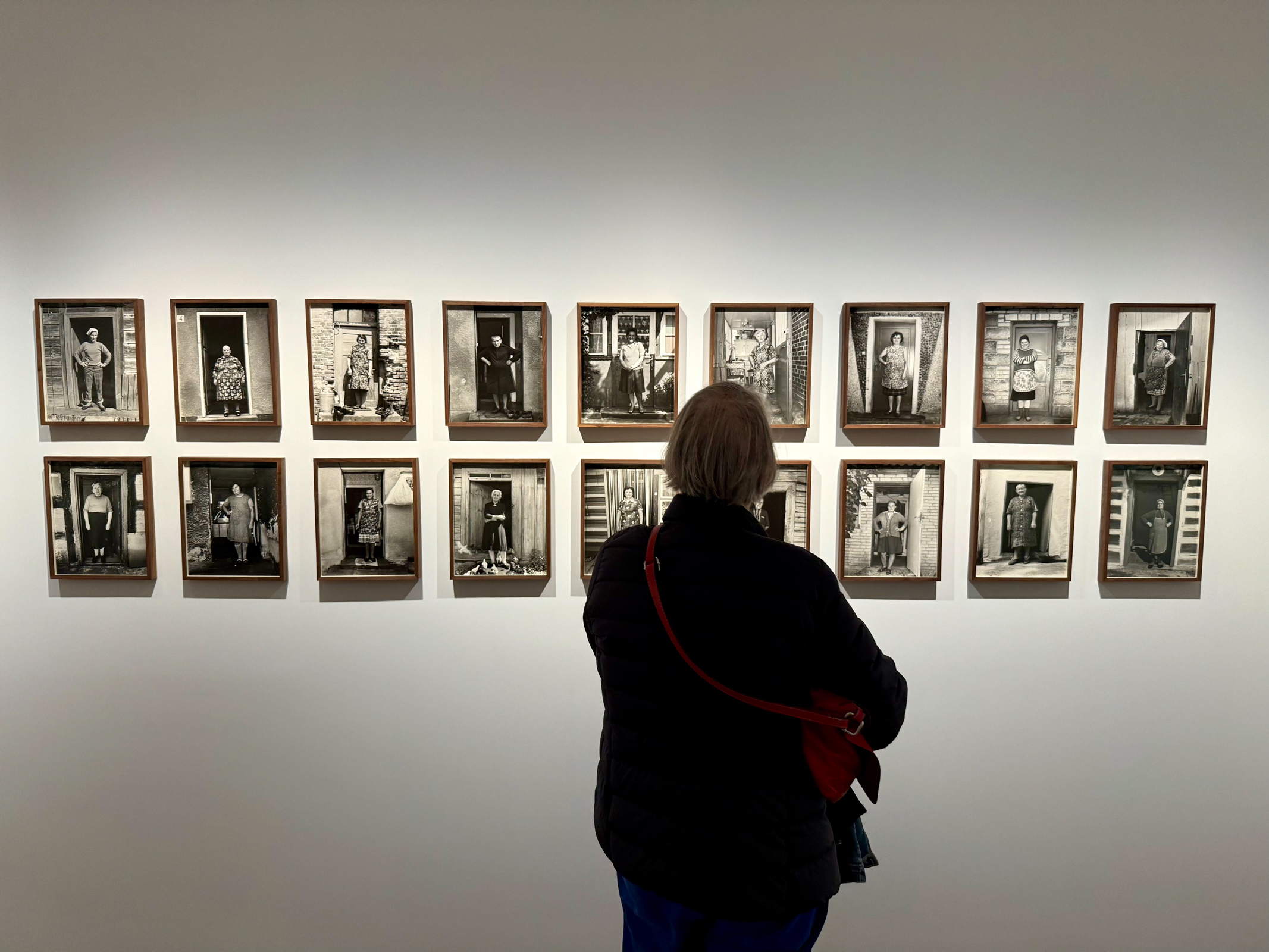
The Photographer’s Gallery was also a delight featuring work by a Ukrainian man named Boris Mikhailov and a Polish woman named Zofia Rydet. Both were names I hadn’t heard of and both of their work was astonishing.
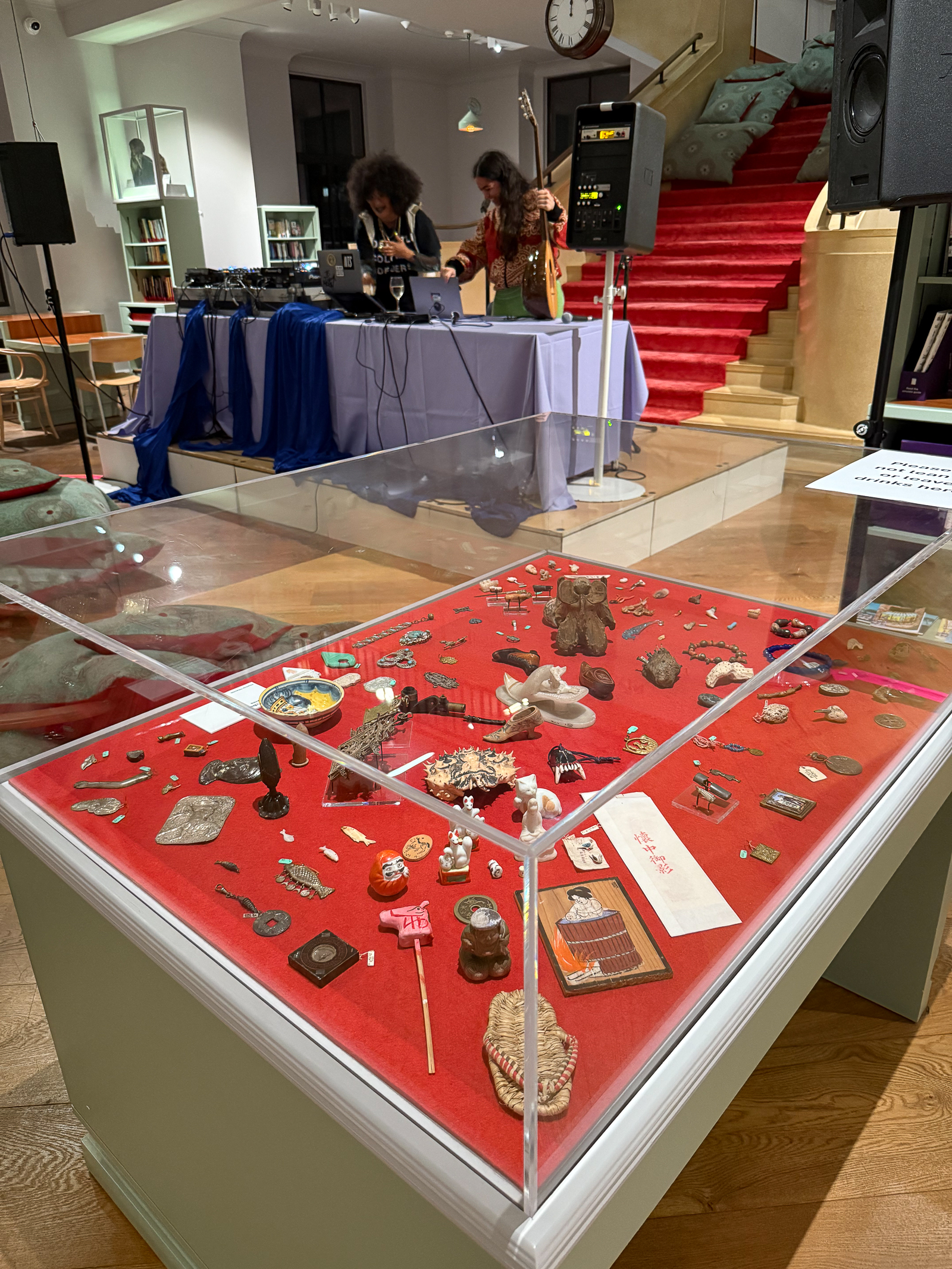
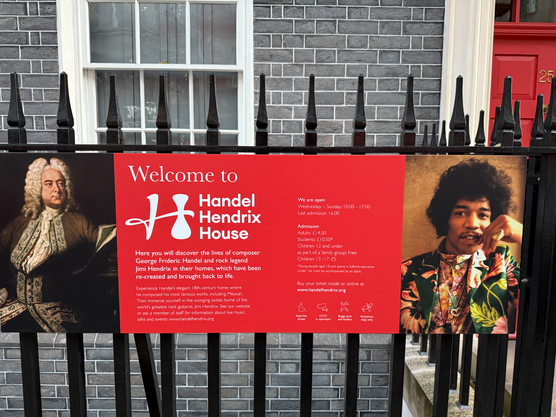
London was also full of small unsung galleries, museums and monuments. One was a heartfelt memorial to Animals in War which proclaimed, “They Had No Choice.” Another surprise was the Handel Hendrix House. Who would ever guess that George Frideric Handel and Jimmy Hendrix would live right next door to each other in London? Of course, they lived there in different times and in different worlds. But still…

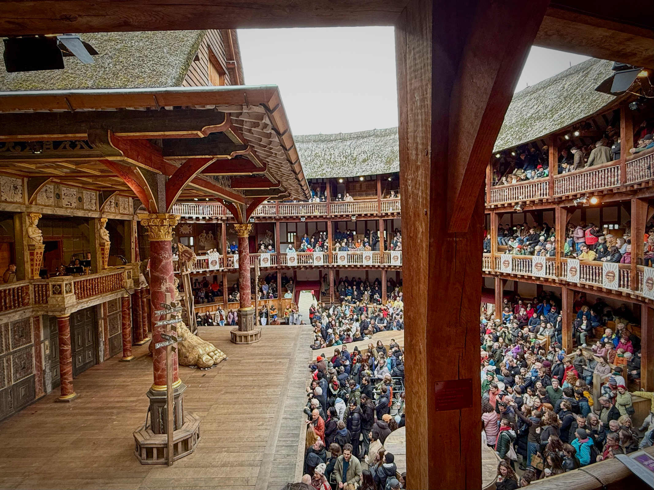
And, of course, a trip to London would not be complete without a visit to the re-creation of Shakespeare’s Globe Theater. Even better was to see a Shakespeare play while shivering in the open-air theater. As it turned out, we saw a very energetic three-hour performance of Troilus and Cressida which is frequently cited as one of the worst plays by one of the best writers in history.
The Tate Modern is considered by some the jewel in the crown of London’s modern art galleries. With almost 6 million visitors a year, it is one of the most visited museums and galleries in the world. The collection holds masterpieces of international and British modern art and our experience there was surprising and impressive.

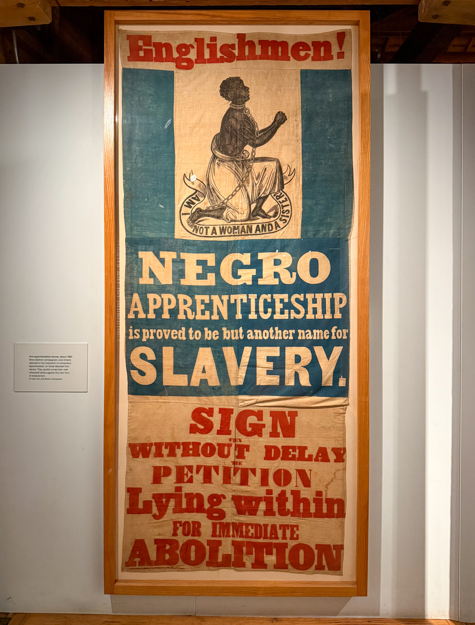
The London Museum Docklands explained the history of the River Thames, the growth of the Port of London and, most impressively, the docks historical link to the Atlantic slave trade. It also had a fascinating section on the docklands area when it was heavily bombed during WWII in the London Blitz.

We did a quick run-through of the National Maritime Museum including visiting the Royal Observatory (where Greenwich Mean Time began) and the famous ship called the Cutty Sark. This area is a UNESCO World Heritage Site.

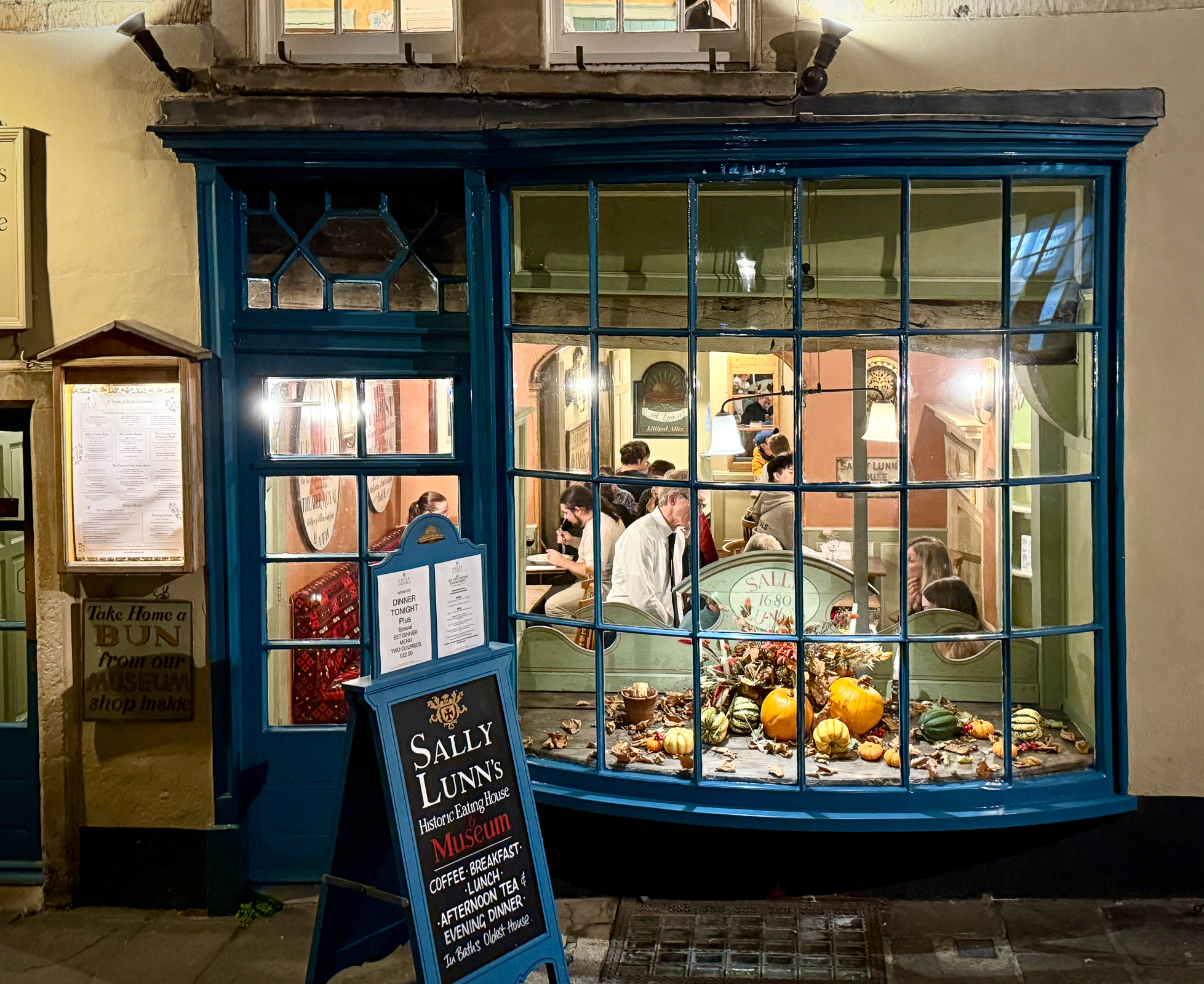
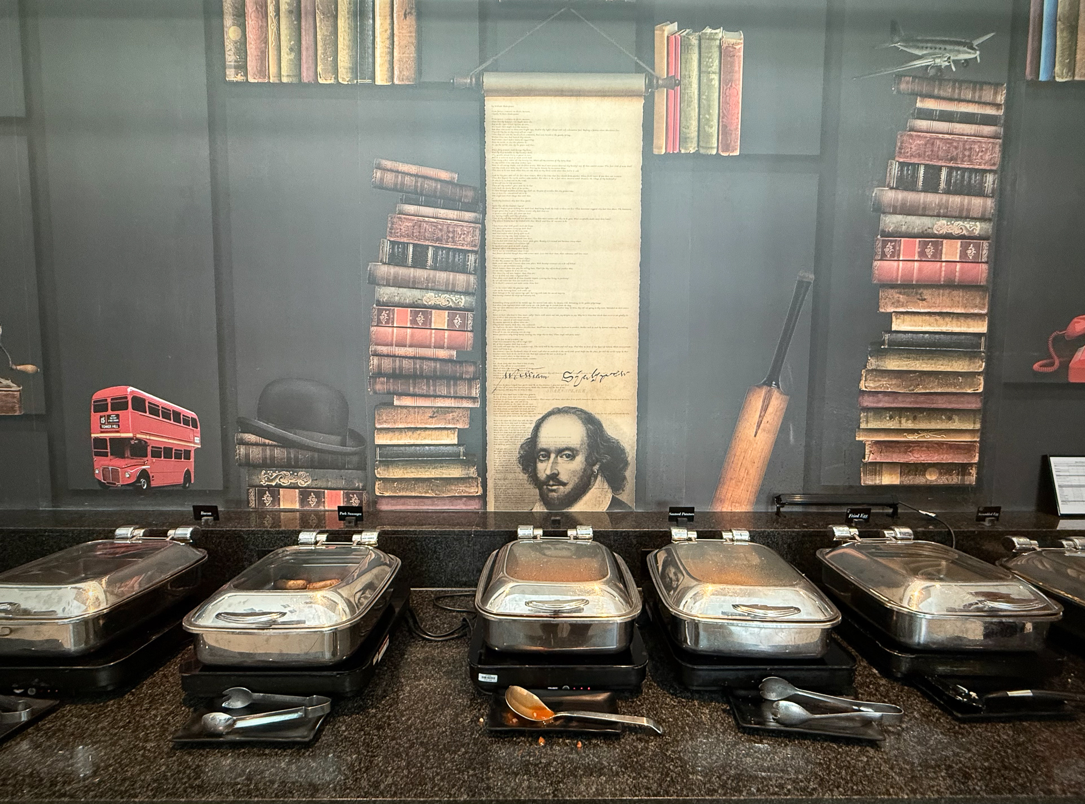
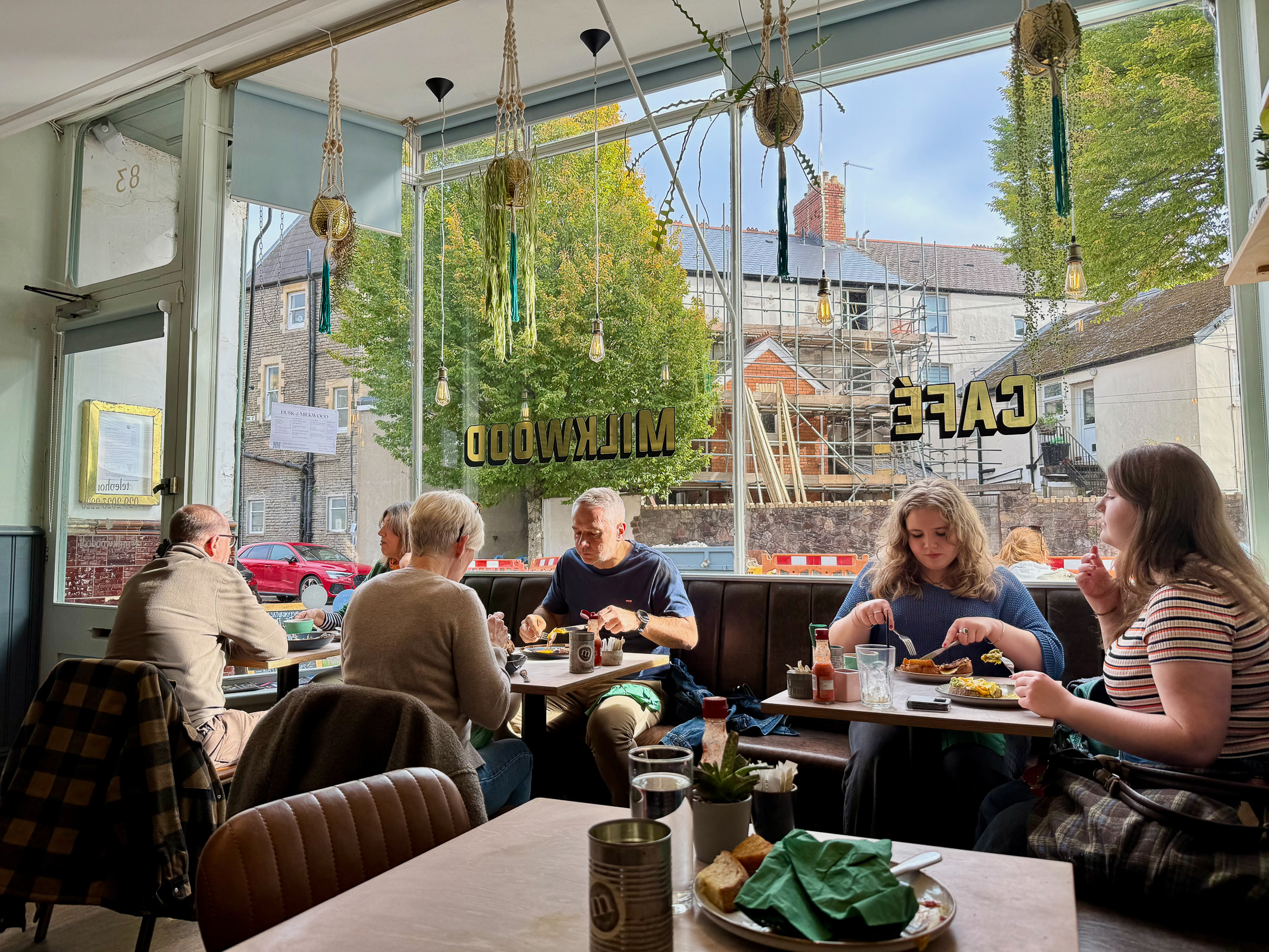
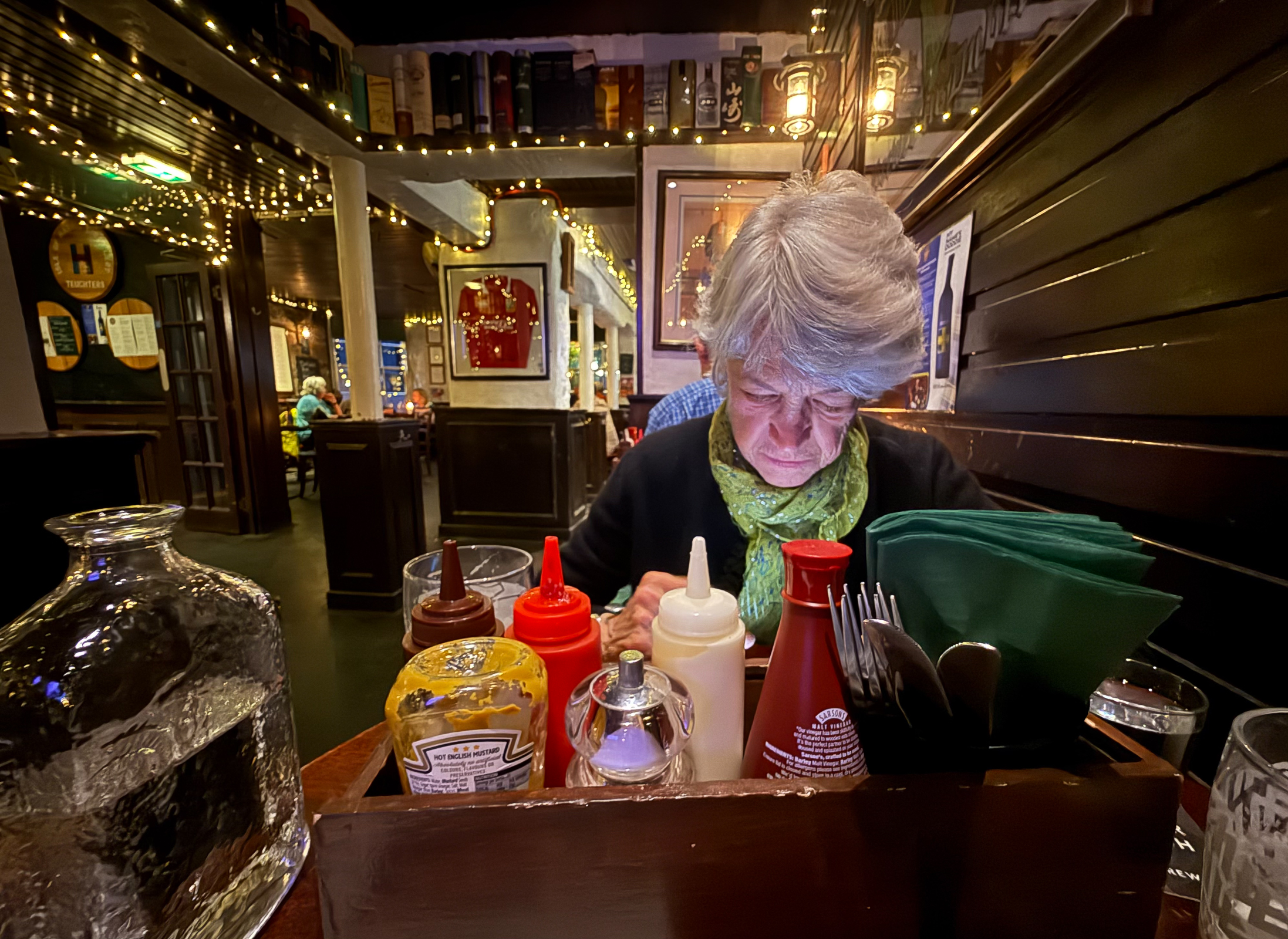
A big surprise was how good traditional English food was on this trip. My memory of last visiting here in 1980 was how awful British food was and how lucky the UK was to have the influx of cuisine from the former colonies. Now, traditional English, Scottish and Welsh food and drink has impressed us throughout the UK. It may not be as healthy as the food we eat back in California, but English food is certainly underrated.


We had one last business trip to Oxford and decided to forego the pleasure of driving on the wrong side of the English roads again. We took the Tube to Paddington Station and found it to be much more than just the home of that lovely little bear. When we arrived a large group of people in big furry hats and greatcoats were performing band music in the station. When they started playing Bob Marley, all the kids and most everyone else started dancing and smiling at delightful scene. We thought of it as a great send off as we boarded our train to Oxford.


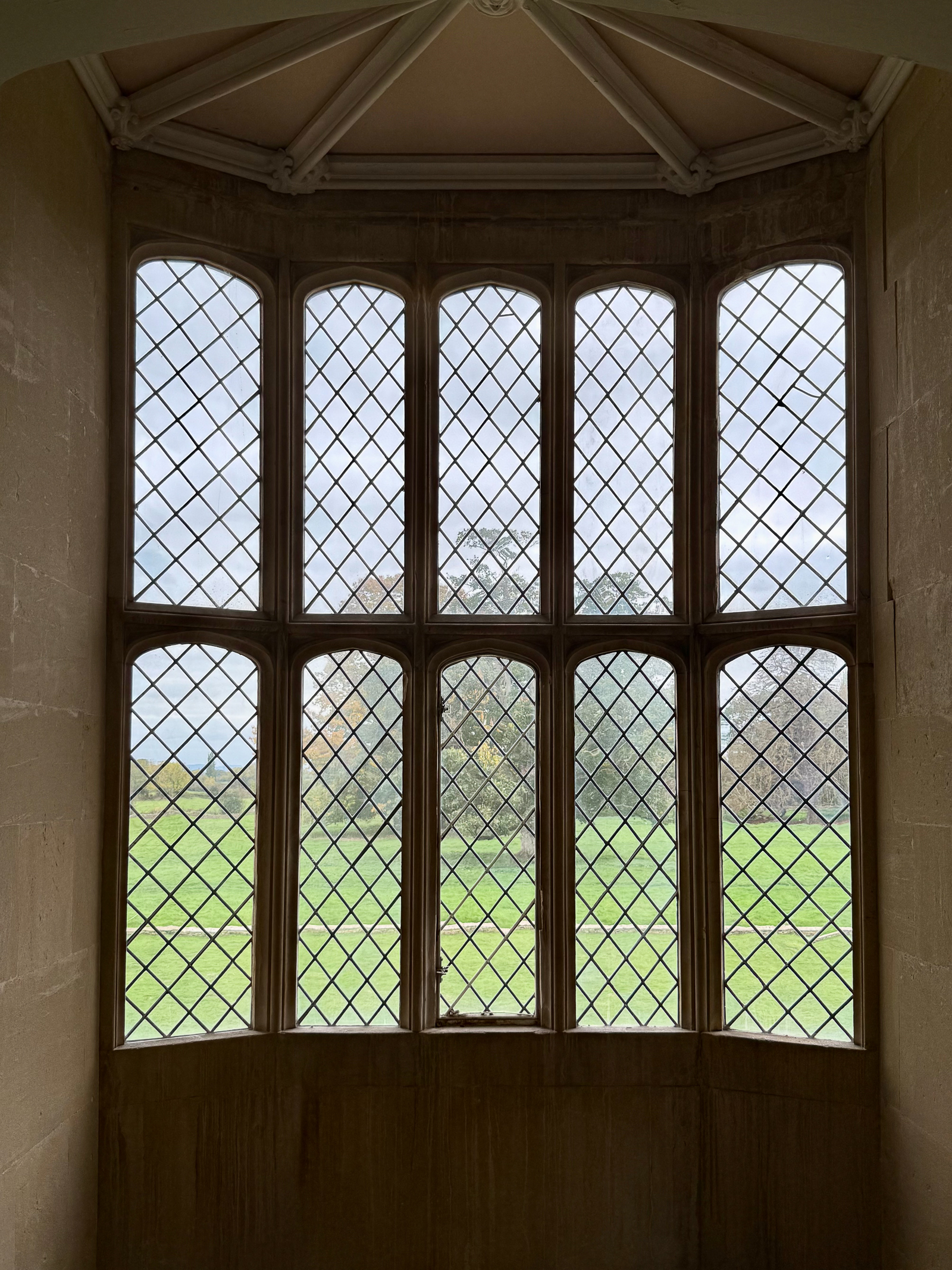
The University of Oxford started in 1096, making it the oldest university in the English-speaking world and the world’s second-oldest university in continuous operations. The iconic Radcliffe Camera houses the Radcliffe Science Library while our destination of the Old Bodleian Library was right next door.

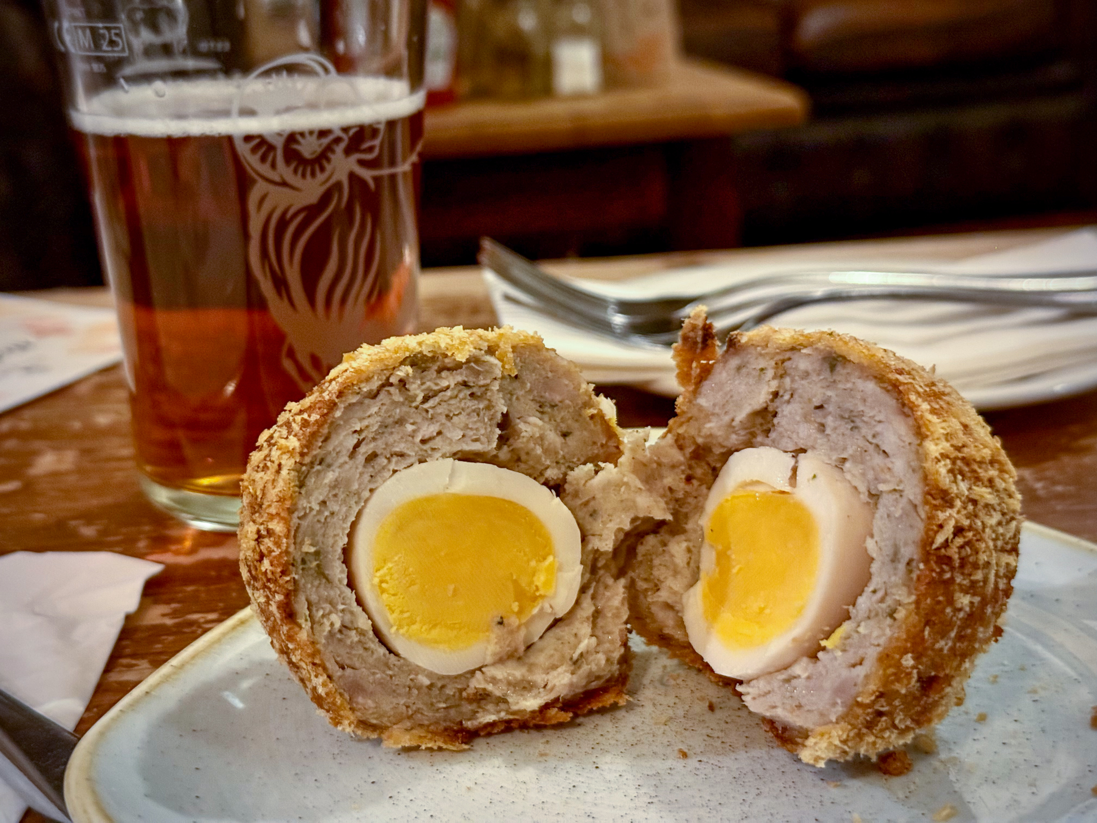
Our one-night stay in Oxford was delightful. It felt very comfortable to be in this college town. I was surprised to see a restaurant called Mission Burrito after our hometown’s famous dish. We had dinner at The Kings Arms, and I was finally able to have a Scot’s Egg dish. Delicious!

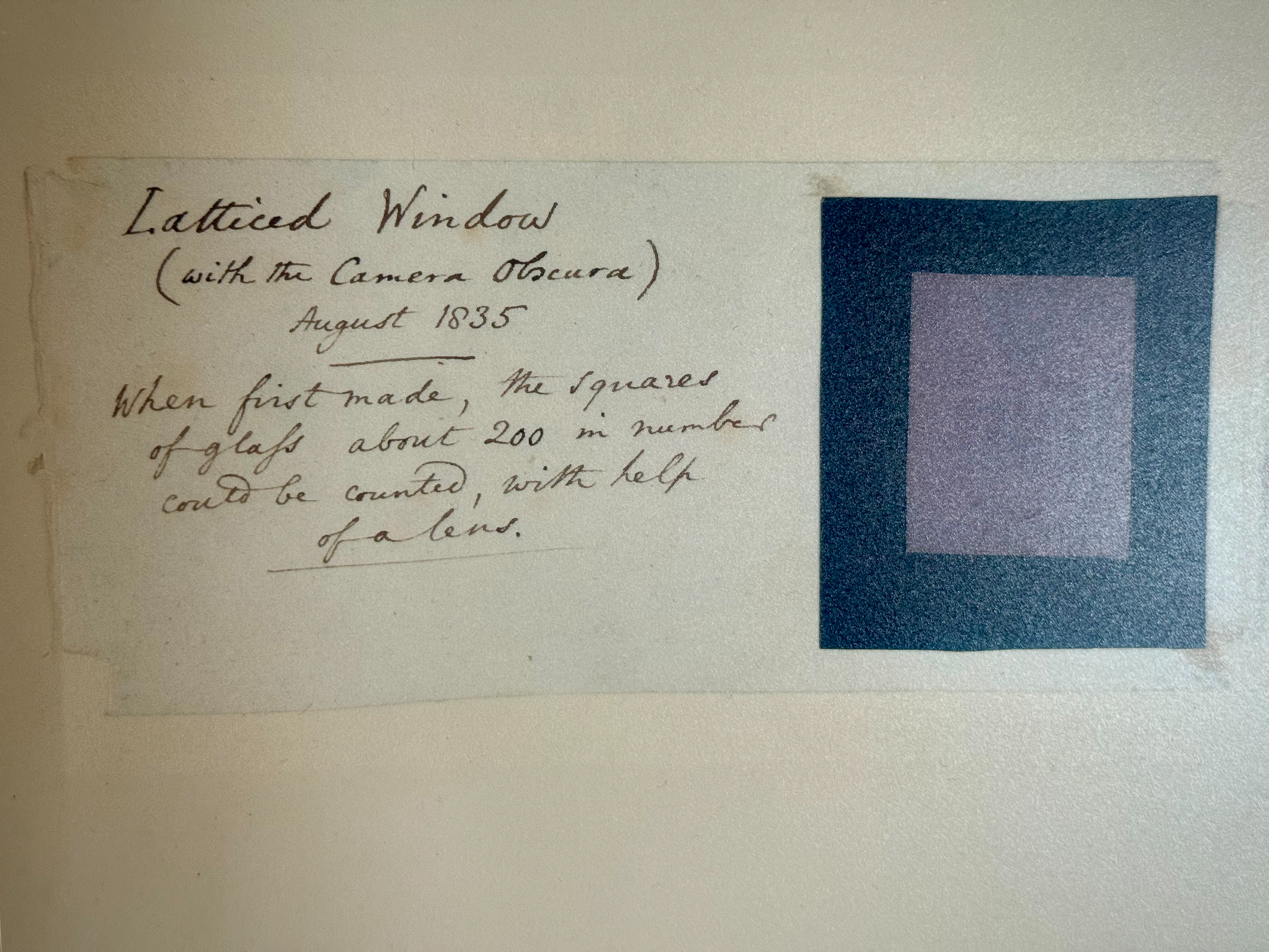
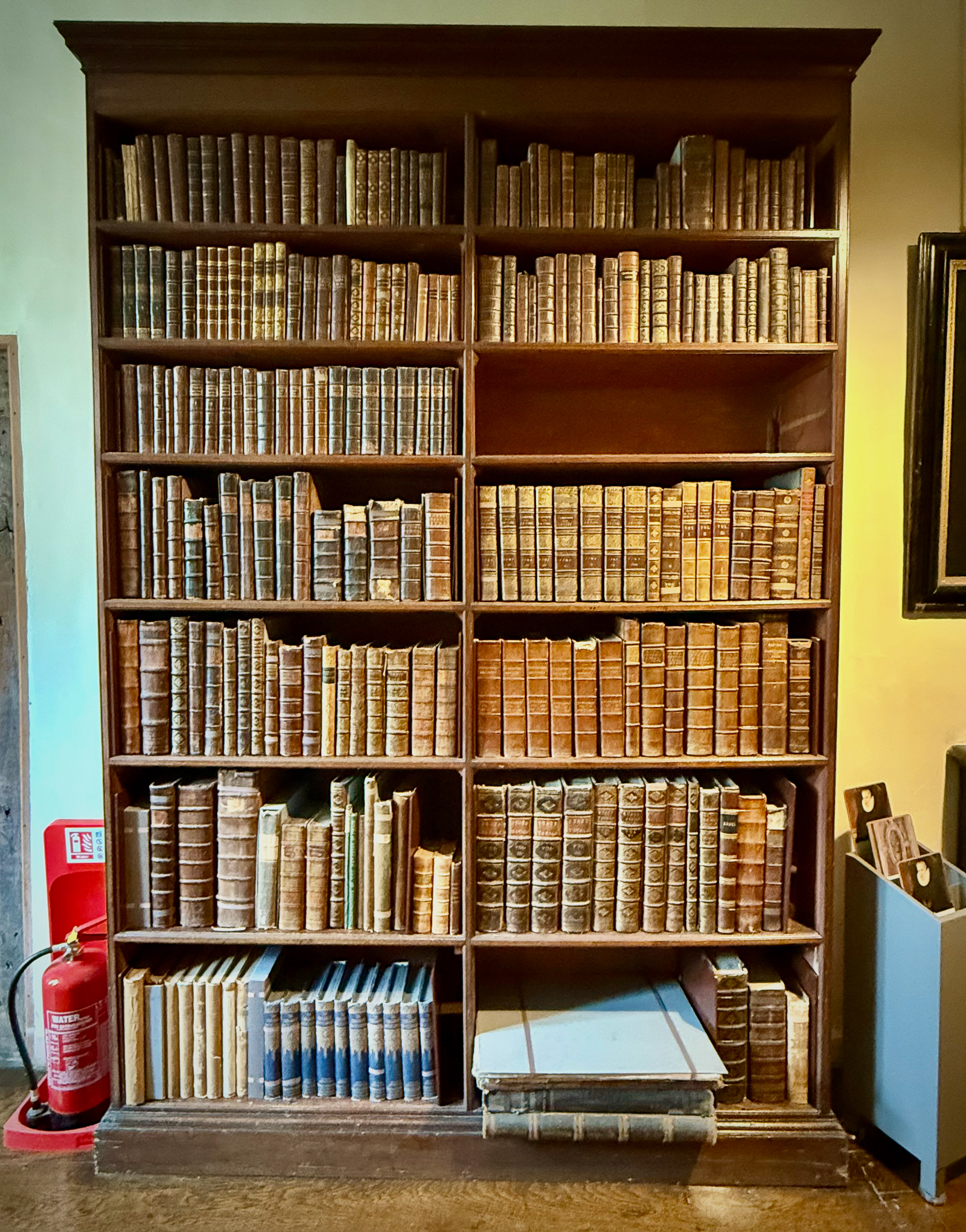
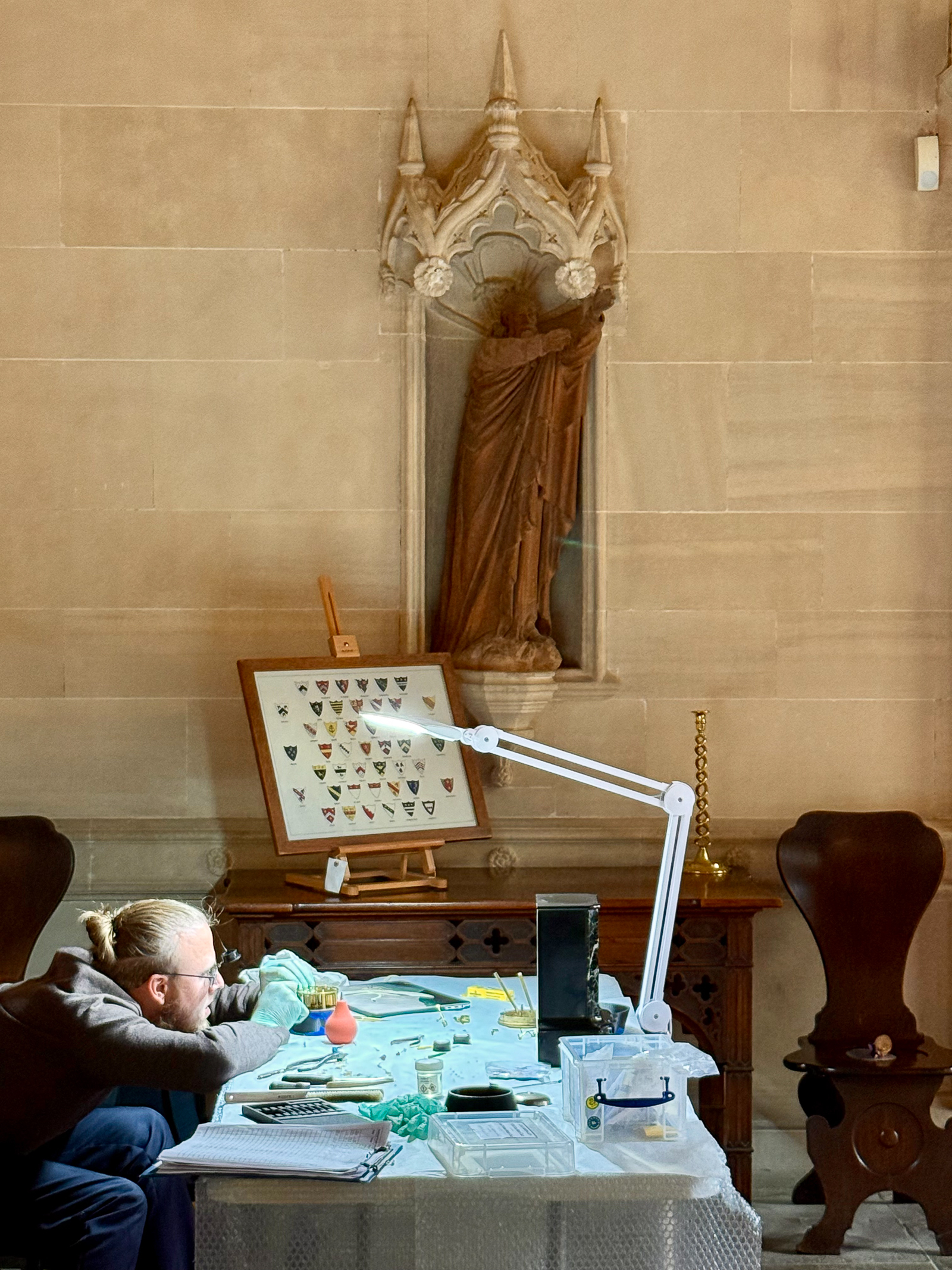
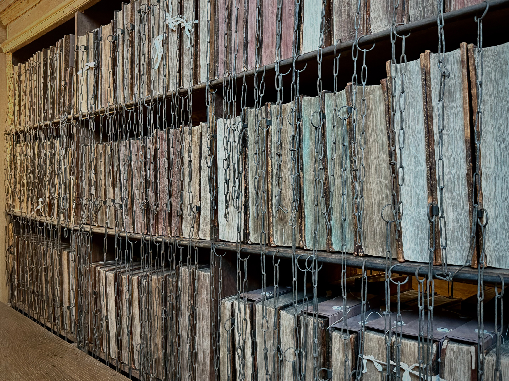
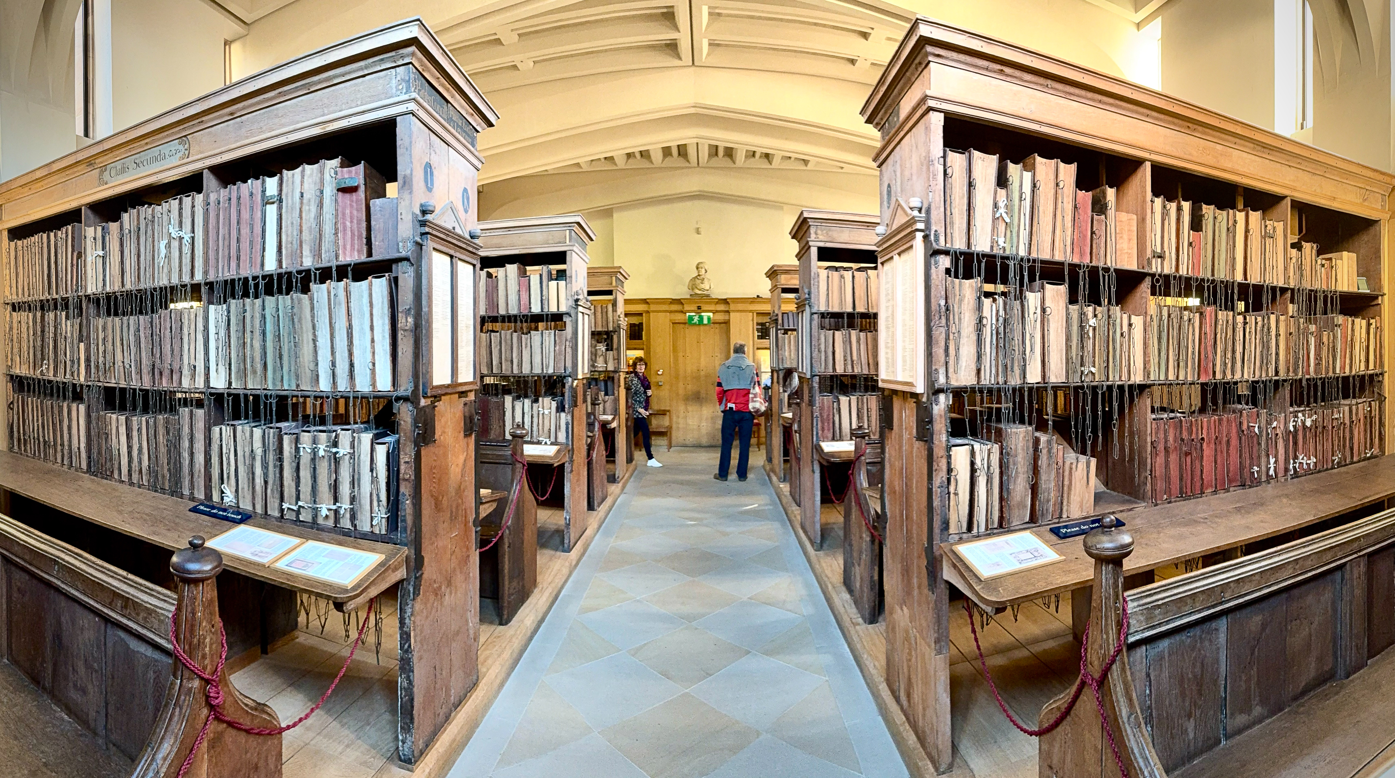
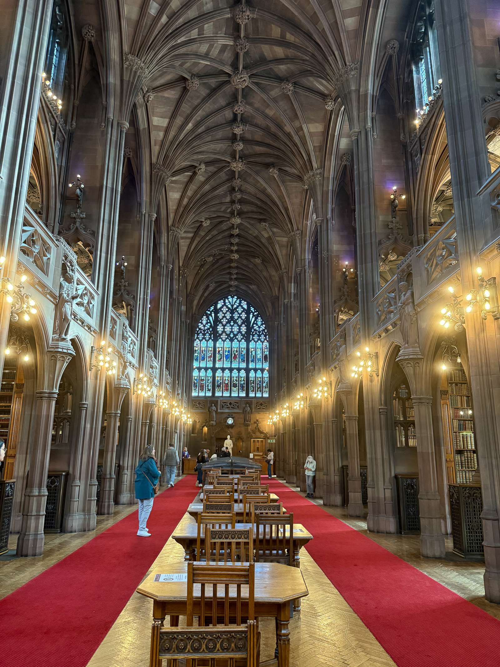
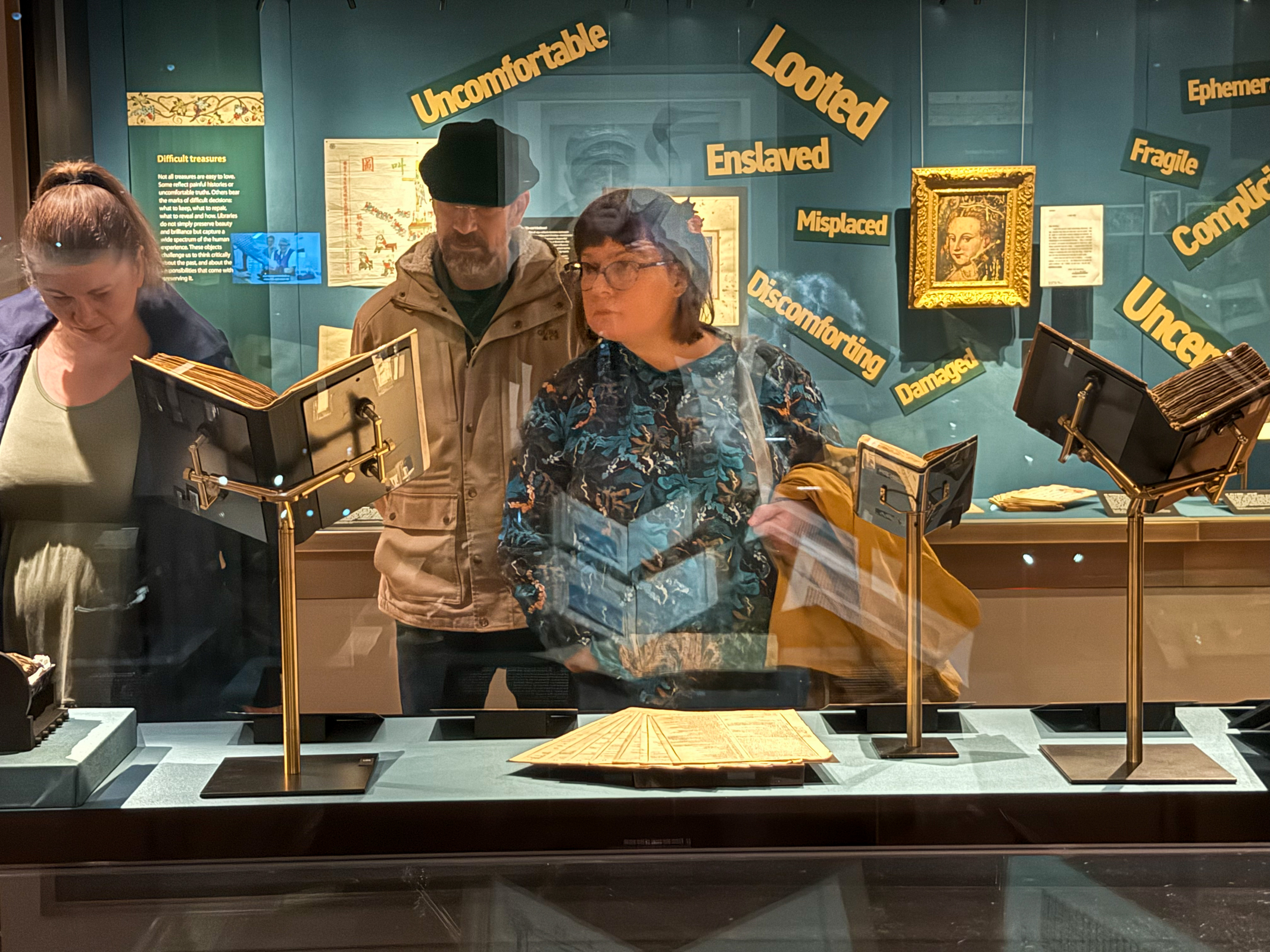
We also saw a remarkable exhibit from the collection of the Bodleian Library. The library was founded in 1602 with roots dating back even further and it is one of the oldest libraries in Europe. It is also the second largest library in Britian after the British Library in London.
Our business was to meet with the Director of the Oxford University Libraries Richard Ovenden. He had written a book called Burning the Books and we were there to ask if he could contribute his writing to our upcoming book on our Global Library project. To our delight, he agreed! It reminded me when the well-known journalist Bill Moyers agreed to write the introduction to my book The Public Library A Photographic Essay. The generosity of these two men was astonishing and we left our meeting grateful to have met such a big-hearted person.

As we headed back to the train to London, I snapped a selfie of the two of us looking utterly exhilarated and totally exhausted. At this point, we had been on the road for almost ten weeks, and it shows in our happy but tired faces.

The second place we stayed was in the Finsbury Park neighborhood in London. Technically, it was still part of Hackney, but had a very different ethnic, economic and religious mix than our previous neighborhood. Plus, we were on the 11th floor of a high-rise apartment up in the clouds looking down on the birds.

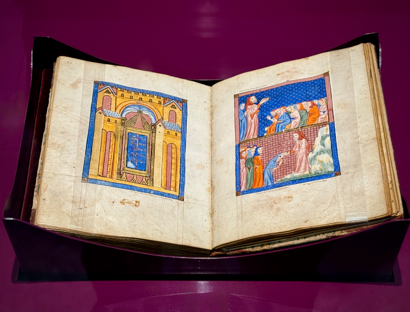
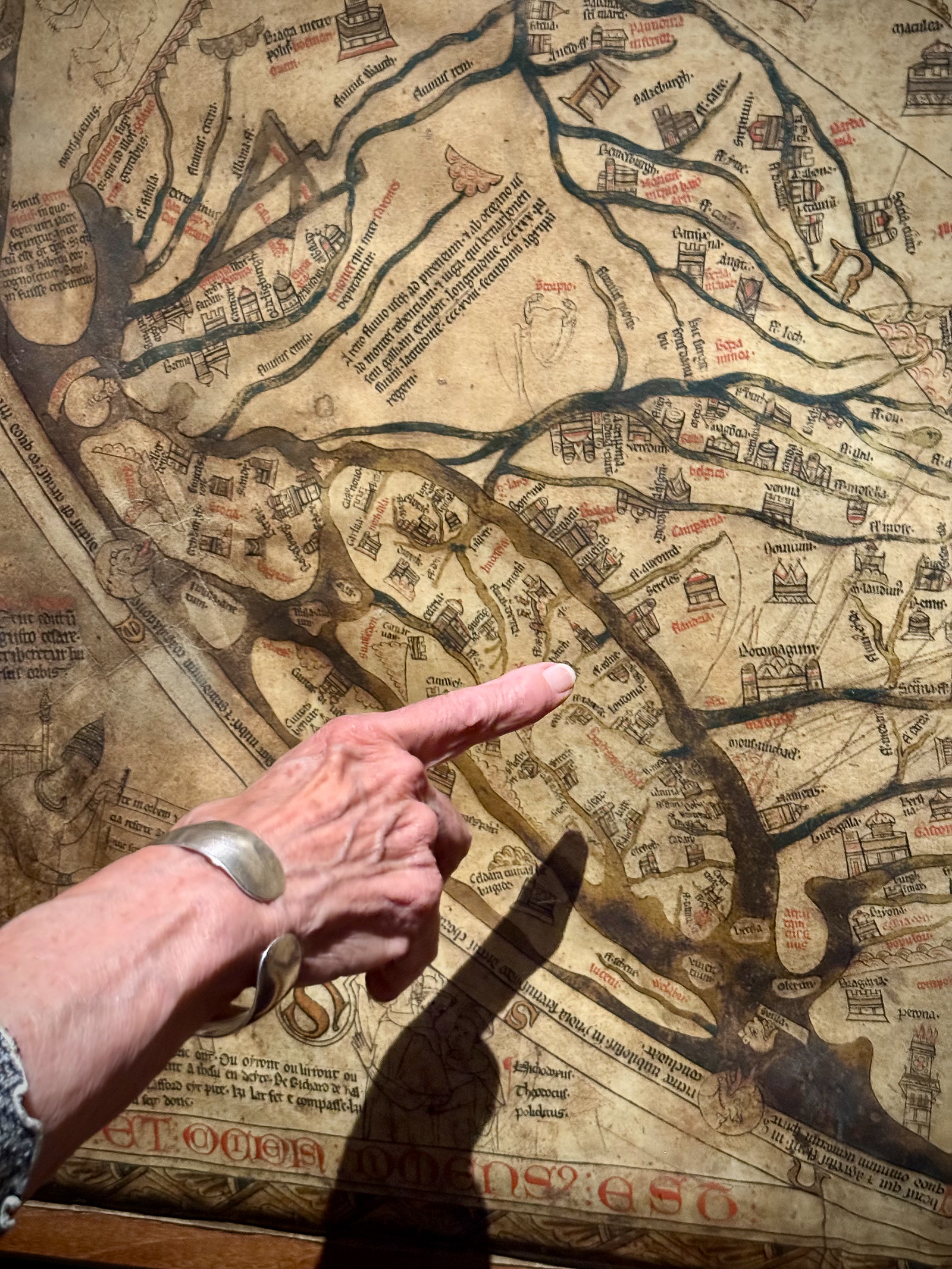
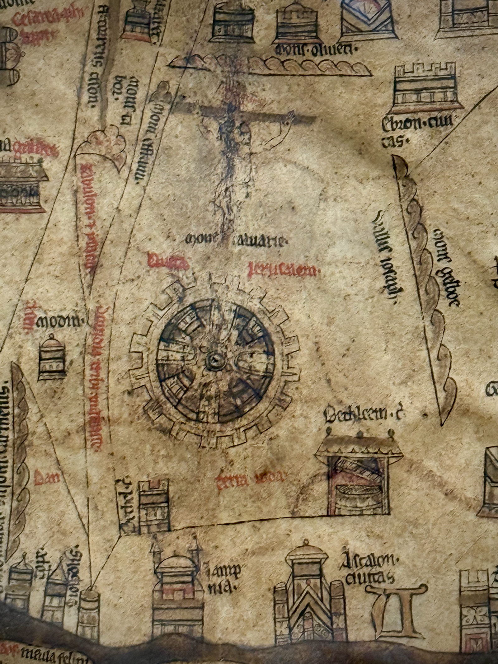
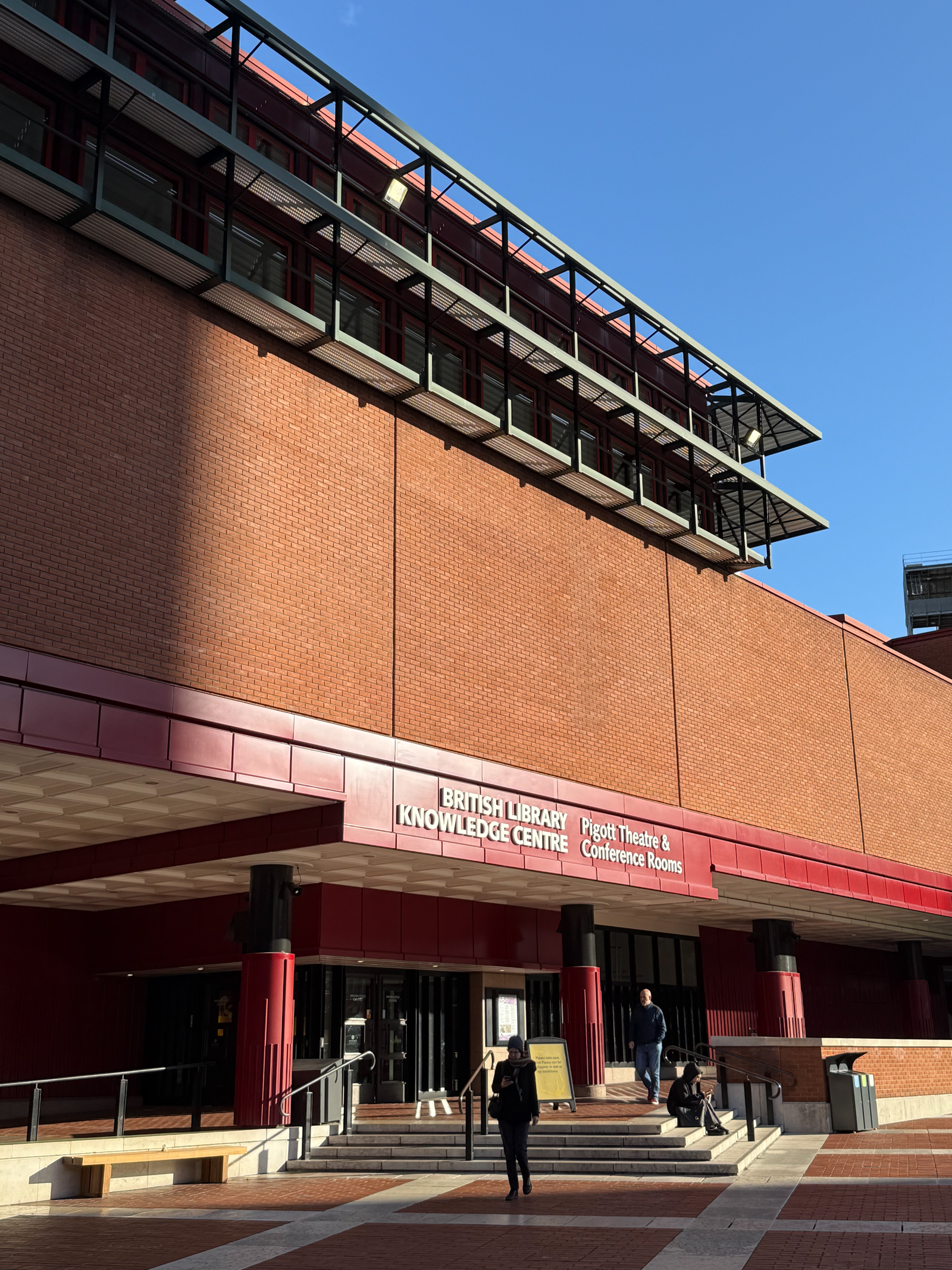
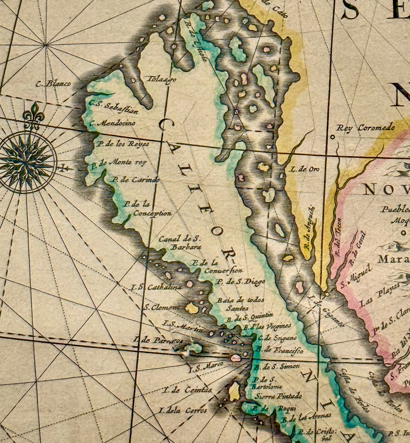
We returned to another great London institution, the British Library. This is one of the largest libraries in the world and we went to see a great exhibit on maps. We also saw the famous Lindisfarne Gospels, considered one of the first and greatest masterpieces of medieval European book painting. It was also great to see how popular this iconic cultural institution was, even on a Sunday afternoon.


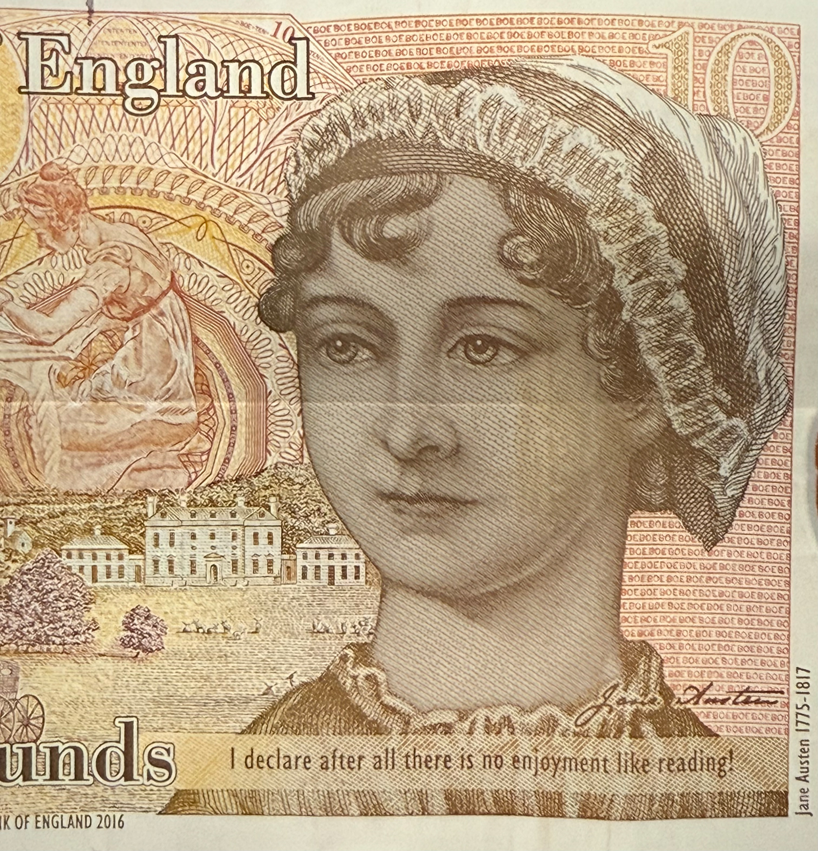
I even fell in love with the English money. On the 10-pound note there is an image of the writer Jane Austen declaring “…after all there is no enjoyment like reading!”
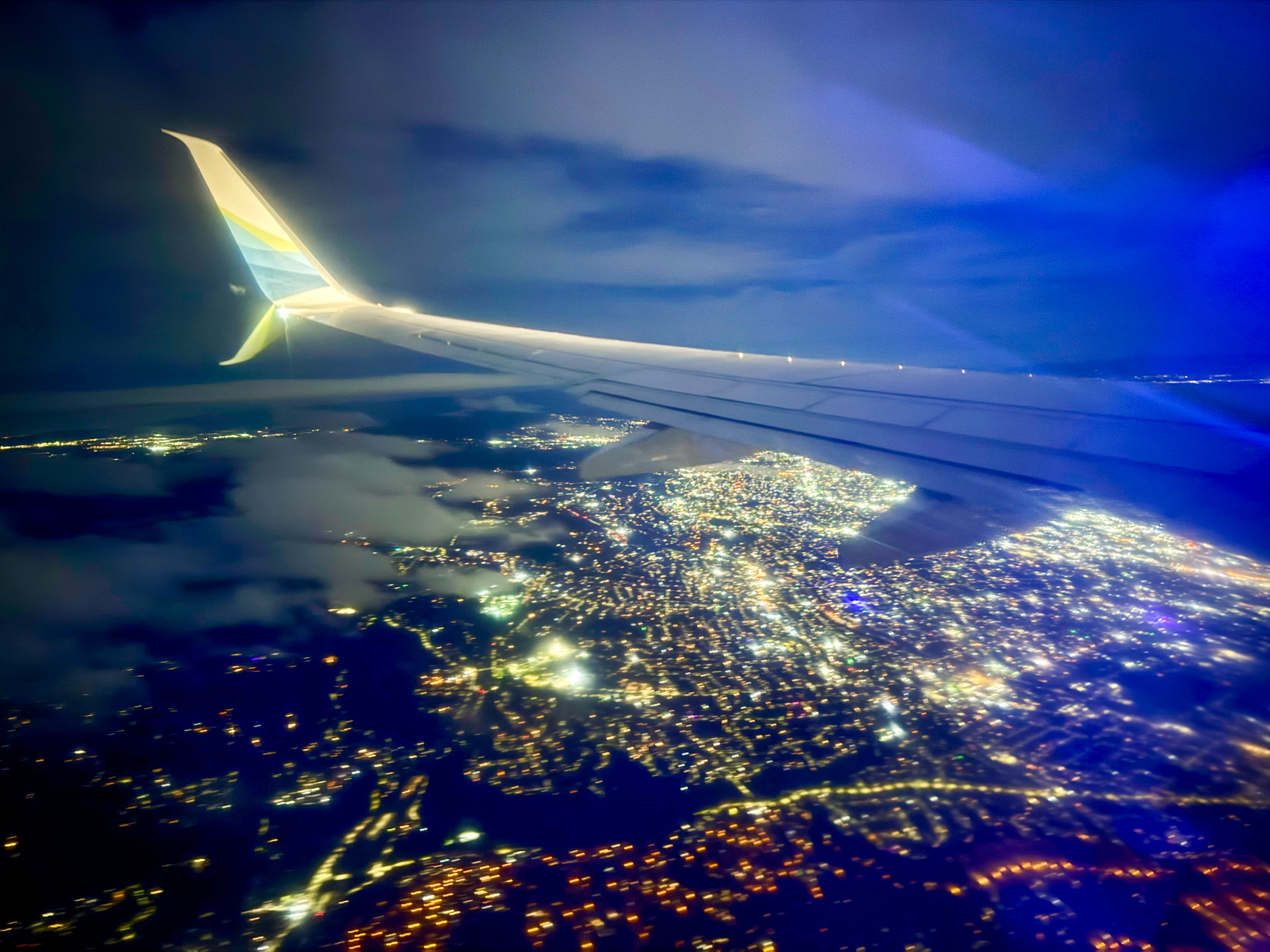
Flying back to the USA is usually a joyful event but this time was different. JFK airport in New York was a disaster. We joined an impossibly long line as we headed to the security check. It was like a scene from Dante’s Inferno. Homeland Security guards were screaming at everyone as we approached the screening gates. Homeland Security Director Kristi Noam’s face was on large screen monitors telling us that if we are standing in long lines, it is the Democrats fault. People around us were panicky and confused by the aggressively hostile chaos surrounding us. Welcome back to Trump’s America!


Hours later, we were so thankful to be back in our little bubble in San Francisco. Since we had left our apartment in London, we had been on the move for almost 30 hours straight. As we crashed into our bed, I kept saying there really is no place like home! Thanks for coming along on this Library Road Trip. See you soon…