
5/14/22
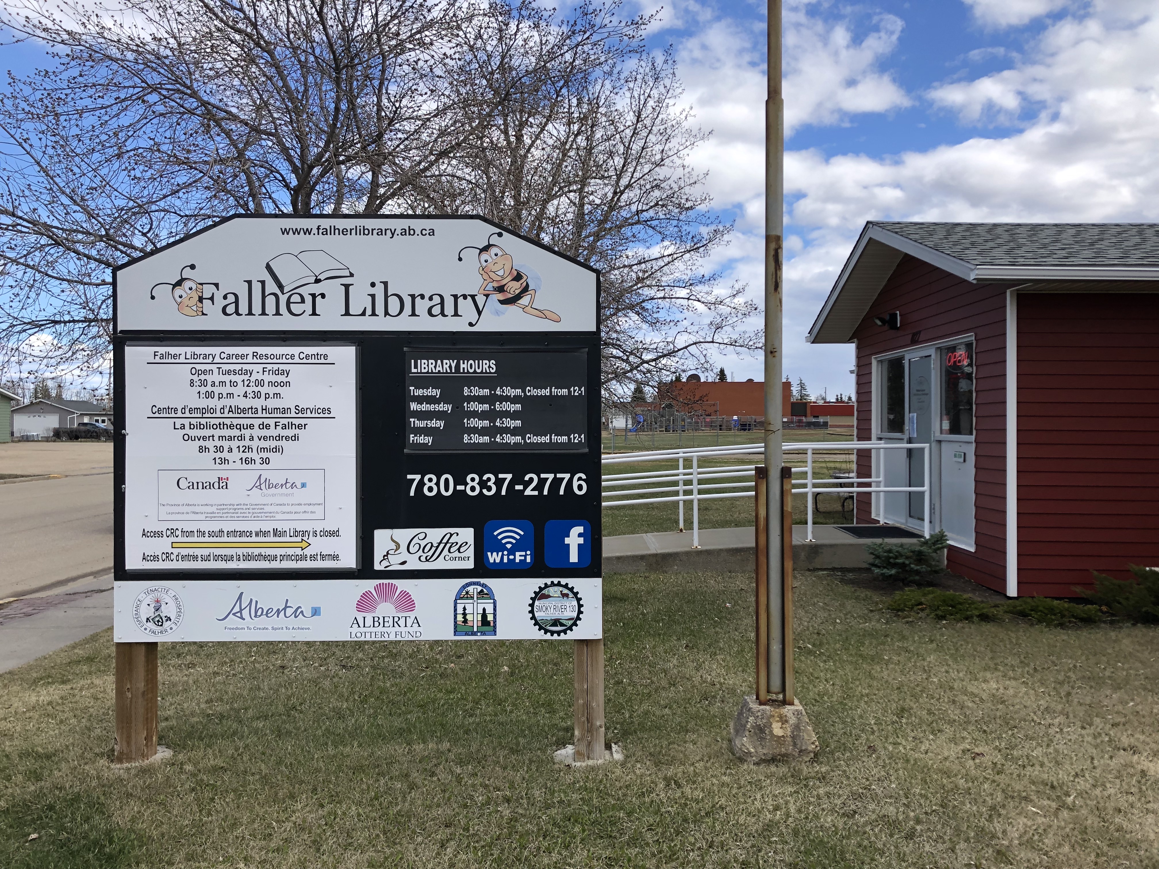
International jet travel has given us the ability to quickly see parts of the world far away from our normal lives. But by driving to the Arctic from San Francisco, we are able to see the gradual change in the landscape and culture from the Pacific Coast of California to the high latitudes near the top of the word. Northern Alberta is little visited and even less known. North of Edmonton the population drops off to Siberian levels. The sense of remoteness here is almost eerie. After we left Edmonton, we left the Great Plains and entered the Peace River Valley. The hard scrabble town of High Prairie, AB had an unusual looking library that obviously meant a lot to this working-class community. The photograph of Queen Elizabeth at the entrance was a good reminder that we were in a country with deep English roots. The next small town we visited was the proudly French-speaking community of Fahler, AB. Alberta has a surprisingly larger number of descendants of French settlers showing the important diversity that is one of the best things in this vast country of Canada.

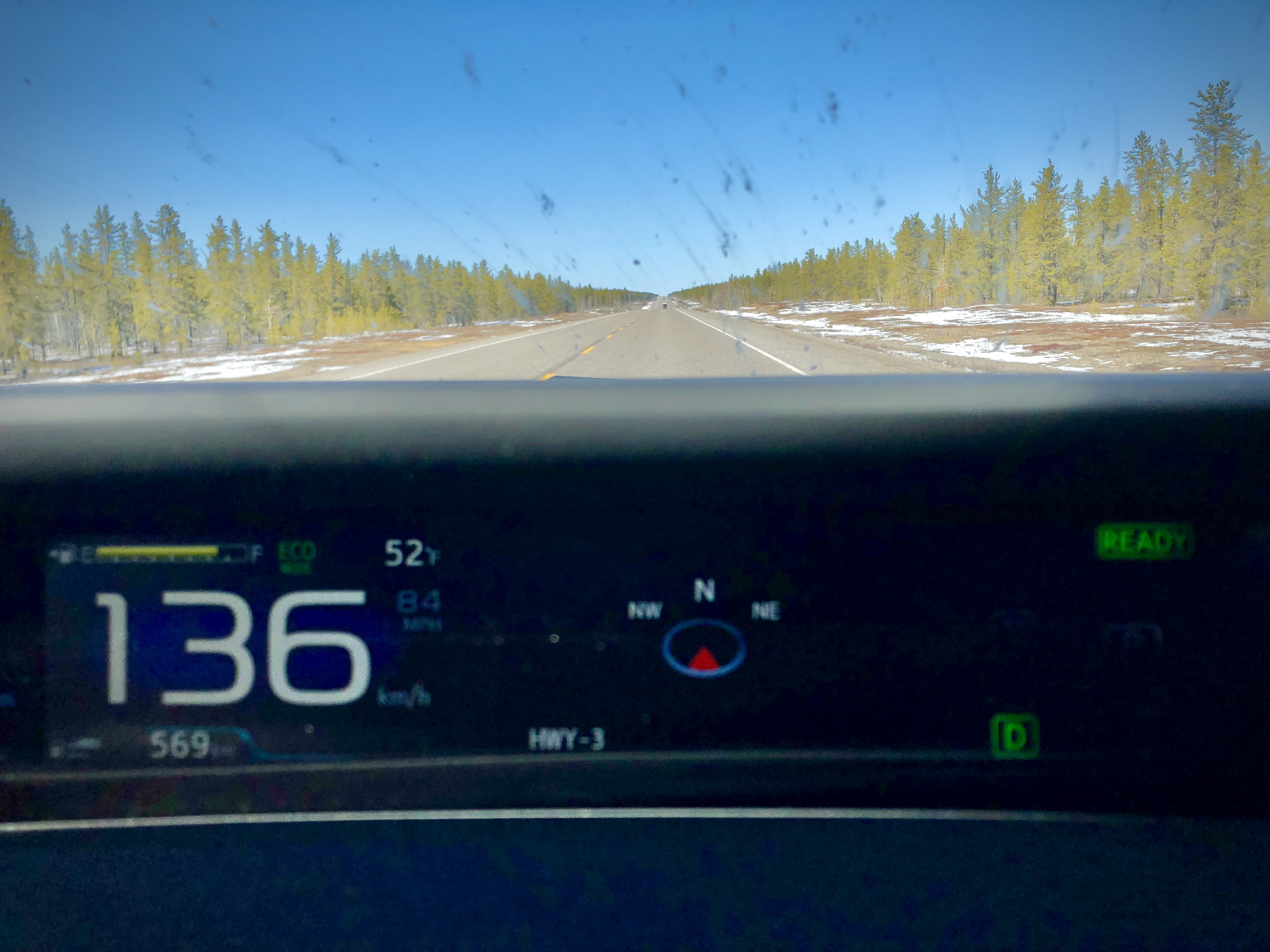
As we drove north of the Peace River Valley, we left behind the last of the agricultural lands of the region and entered the lower Arctic. The transition was gradual as we entered the mixed forests of birch and pine. We could see that the trees were shorter here than the forests of the south, but we had been told that these woods very old. We were surprised to see over a hundred kilometers of burnt trees from a vast forest fire. Although we are far north, this region is relatively dry, and climate change seems to have taken its toll here too. At this latitude, these Boreal forests of the North stretch all the way around the globe. I imagine that this forest in Canada looks a lot like forests in Siberia and Scandinavia.
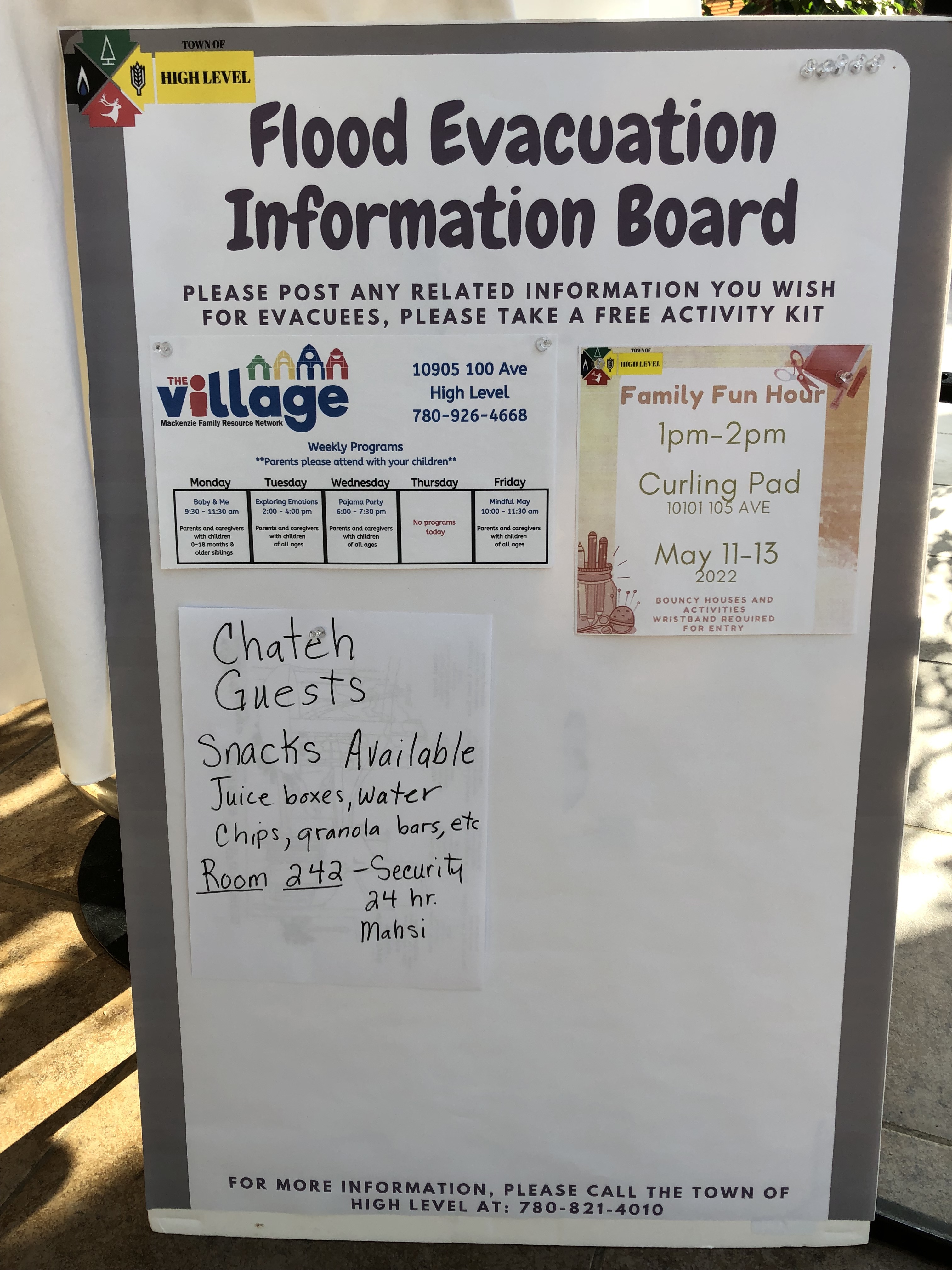
Continuing north, we began to notice that vast areas of water and ice had formed on both sides of the road. Parts of the road itself was severely damaged or even under water. Our mighty Prius is definitely not an off-road vehicle but passed the rugged conditions in great shape. We had hoped to spend the night in the small town of Hay River on the shores of the Great Slave Lake. As we checked the road conditions ahead, we saw a warning that the entire town of Hay River was being evacuated due to a massive flood. We quickly made reservations to stay in the small Indigenous town of High Level in northern Alberta, the last settlement of any size before the Northwest Territories border. It was a good thing that we called ahead because all the motels in town were filled with the people evacuated from Hay River. Most of them were Indigenous, and we began to understand a little what people fleeing a natural disaster go through. The motel had special programs and meals available for the evacuees and we began to see how people within this region help each other. The Canadian government also played a big part in the relief effort.


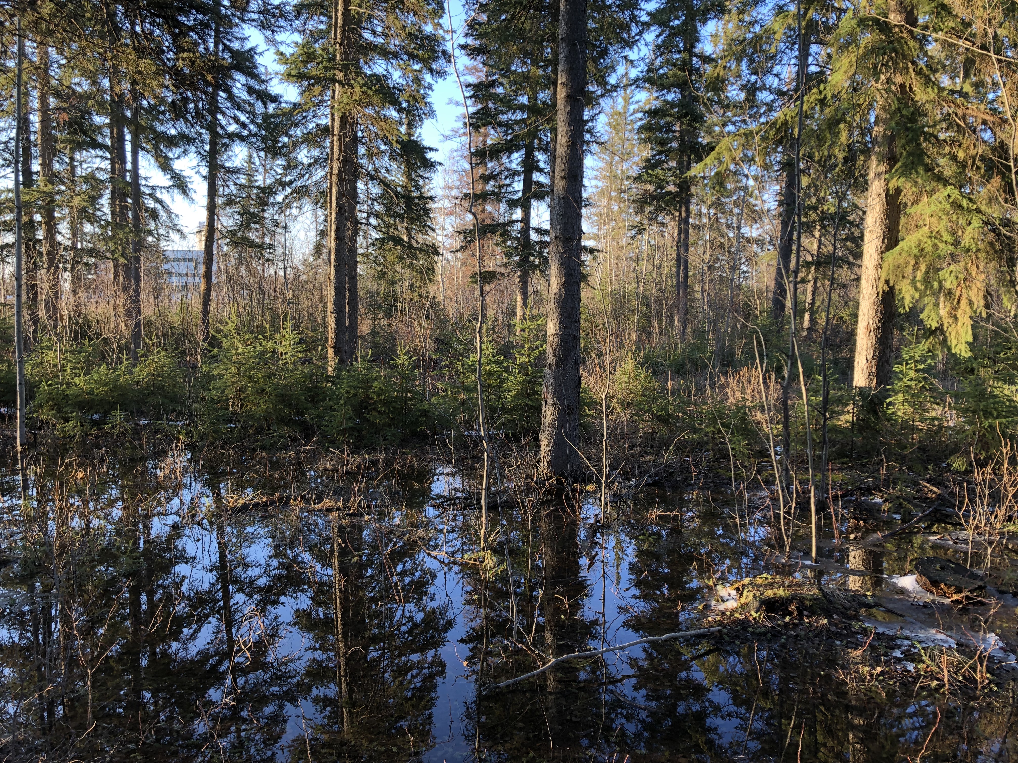
The entire staff of the Best Western were very polite and helpful under extremely stressful circumstances. I was surprised they were all from the Philippines and wondered how theyl got to this remote outpost in the Canadian wilderness. Walker and I drove around the community in the impossibly long Artic evening. The plain looking High Level Public Library was closed and looked like a police station. But it was surprisingly beautiful in the crystal-clear light of the Far North. Later, we took a short walk through the woods near our motel in the slanting sunlight of the late evening. A white-tailed Deer scampered into the darkening forest as we marveled at the red dappled light and the strangeness of being here.
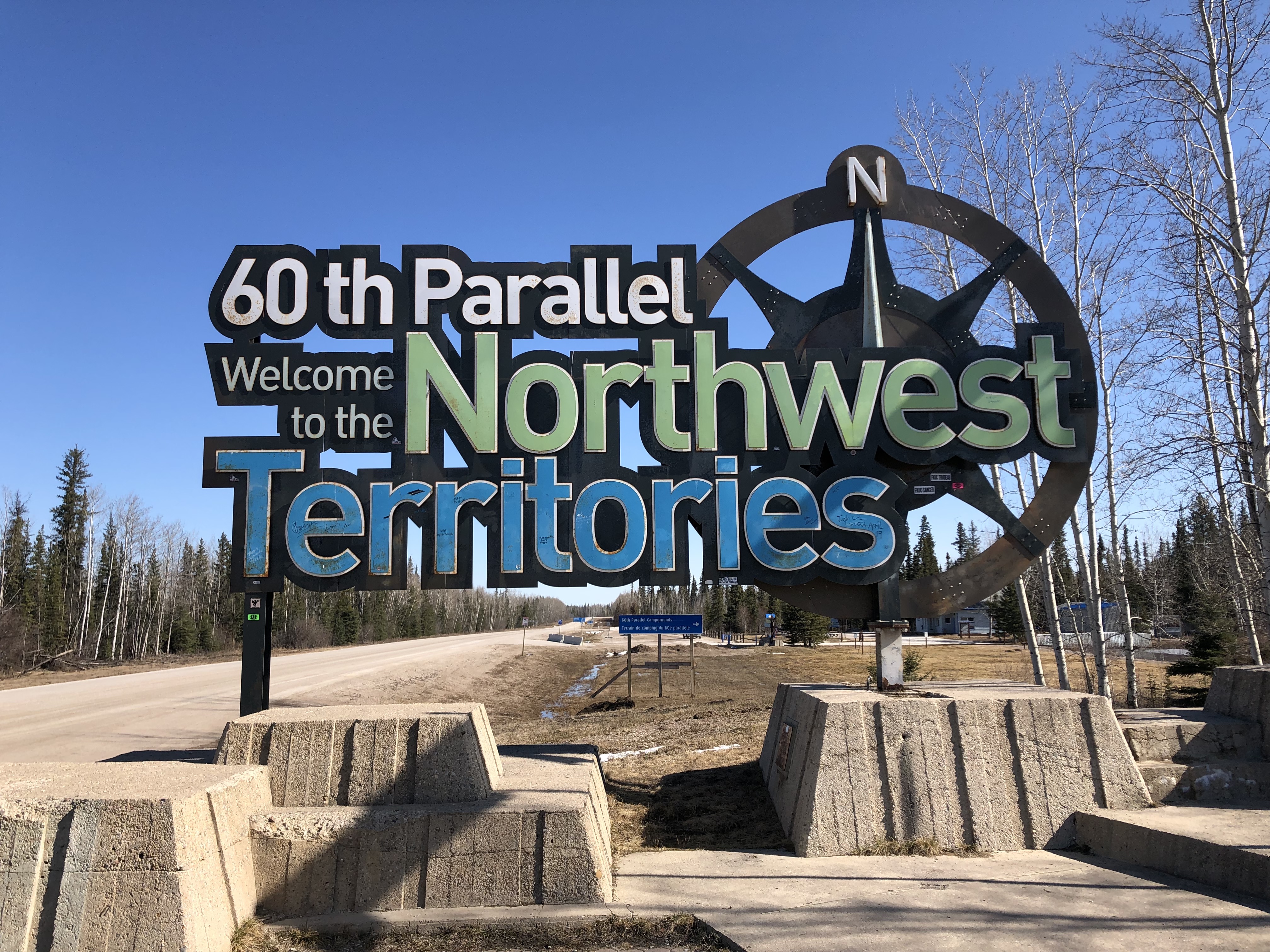
As we crossed the border into the Northwest Territories, we were amazed that we had traveled this far so quickly. Crossing the invisible 60th Parallel made us feel we had finally entered the far North. The forests continued to shrink and thin. Strange new trees appeared, and the fire damage and flooding continued. We were trying to travel long distances on these drives but vowed we needed to stop at some of the scenic spots along the way. One of these places was Alexandra Falls on the mighty Hay River. Never before have I seen such a powerful river so close. Coming to this remote spot and standing next to such a full-throated force of nature was emotionally overwhelming. Frothy muddy water carried giant trees over a roaring waterfall to the white foam-covered river below. Massive sheets of ice clung to the shear cliffs on either side of the river. We met a small group of Mennonites from a nearby village. As we happily chatted with the men, the women stood silently in a group to the side in their long skirts and head coverings.
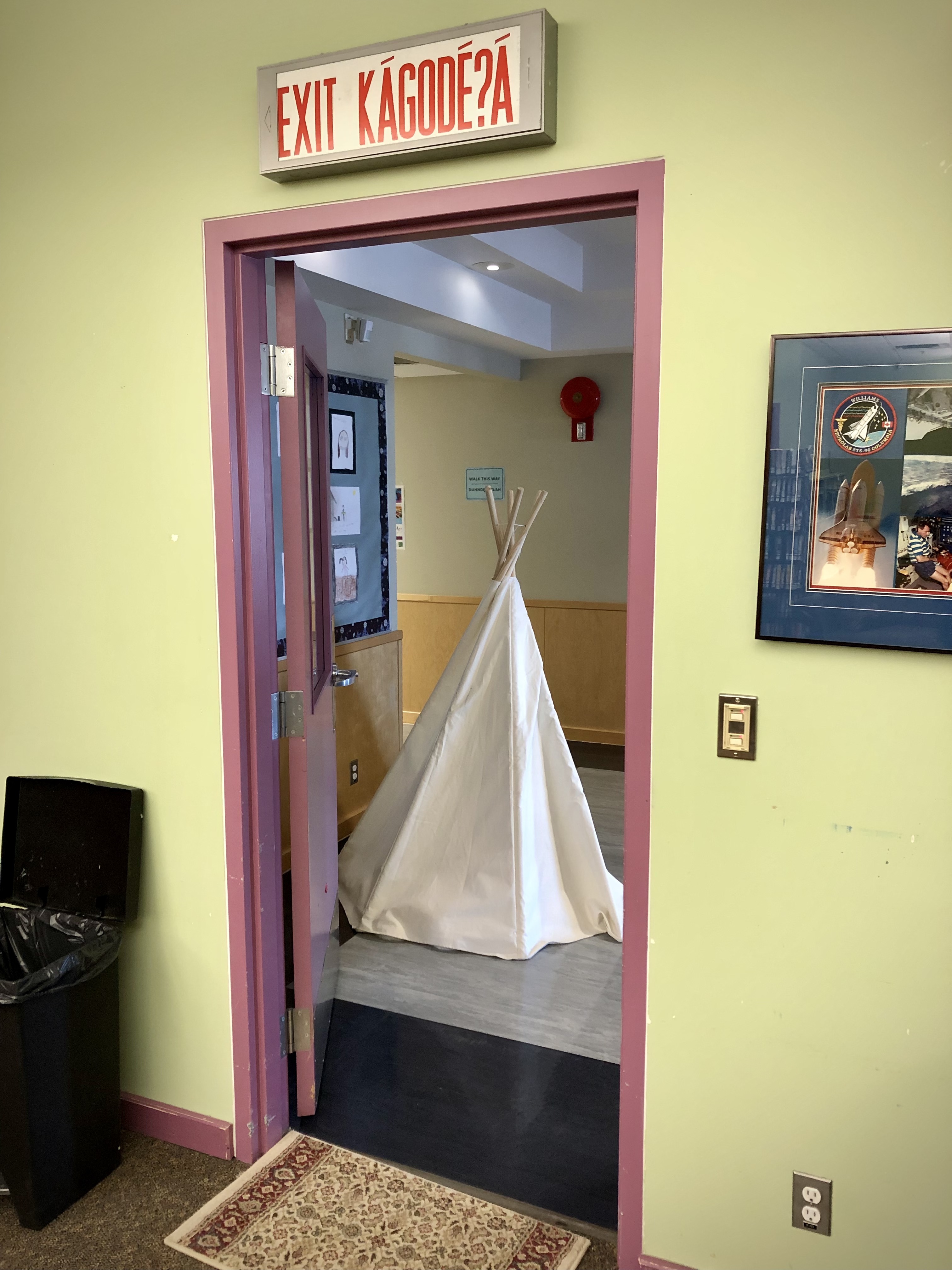
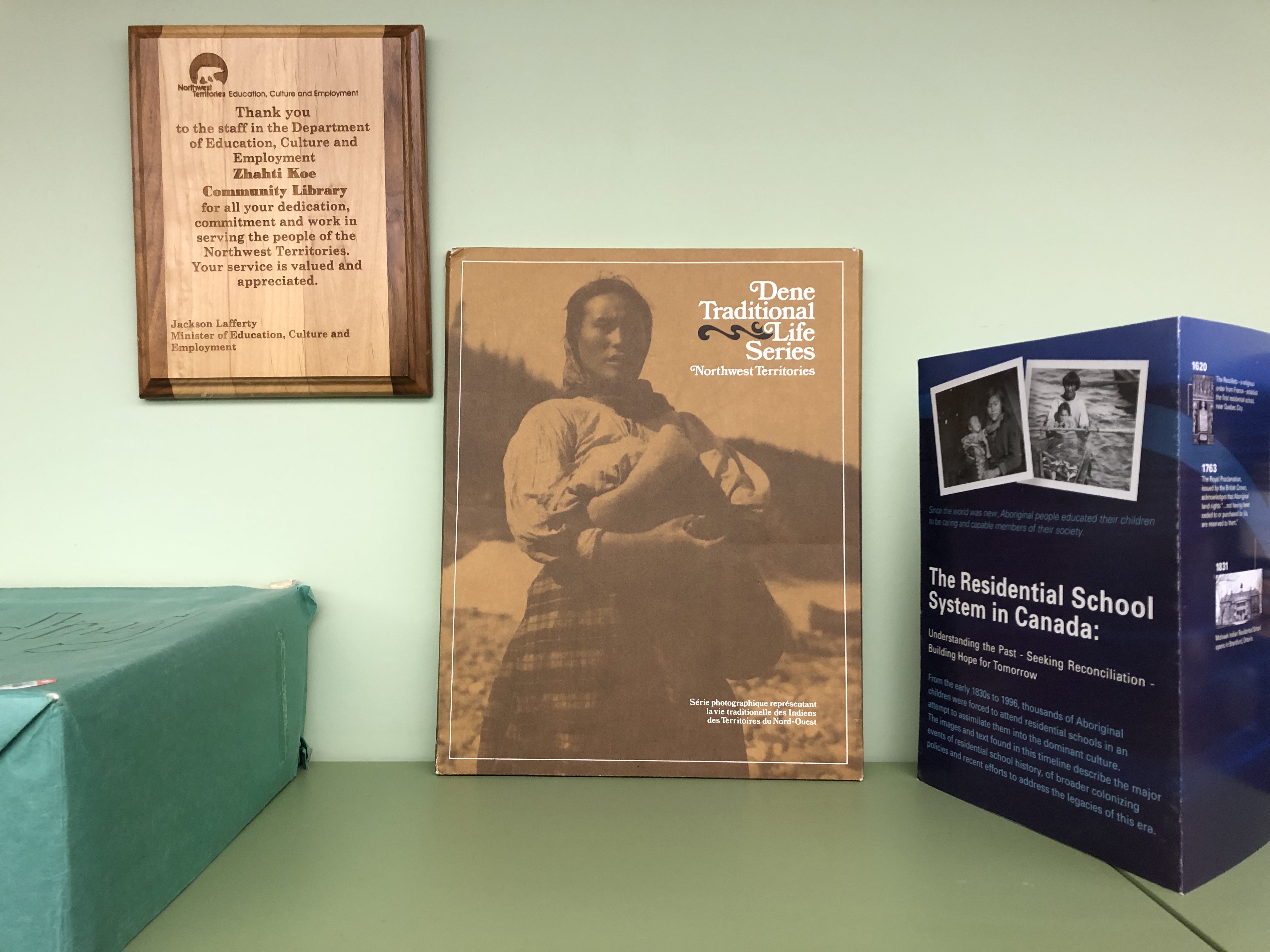
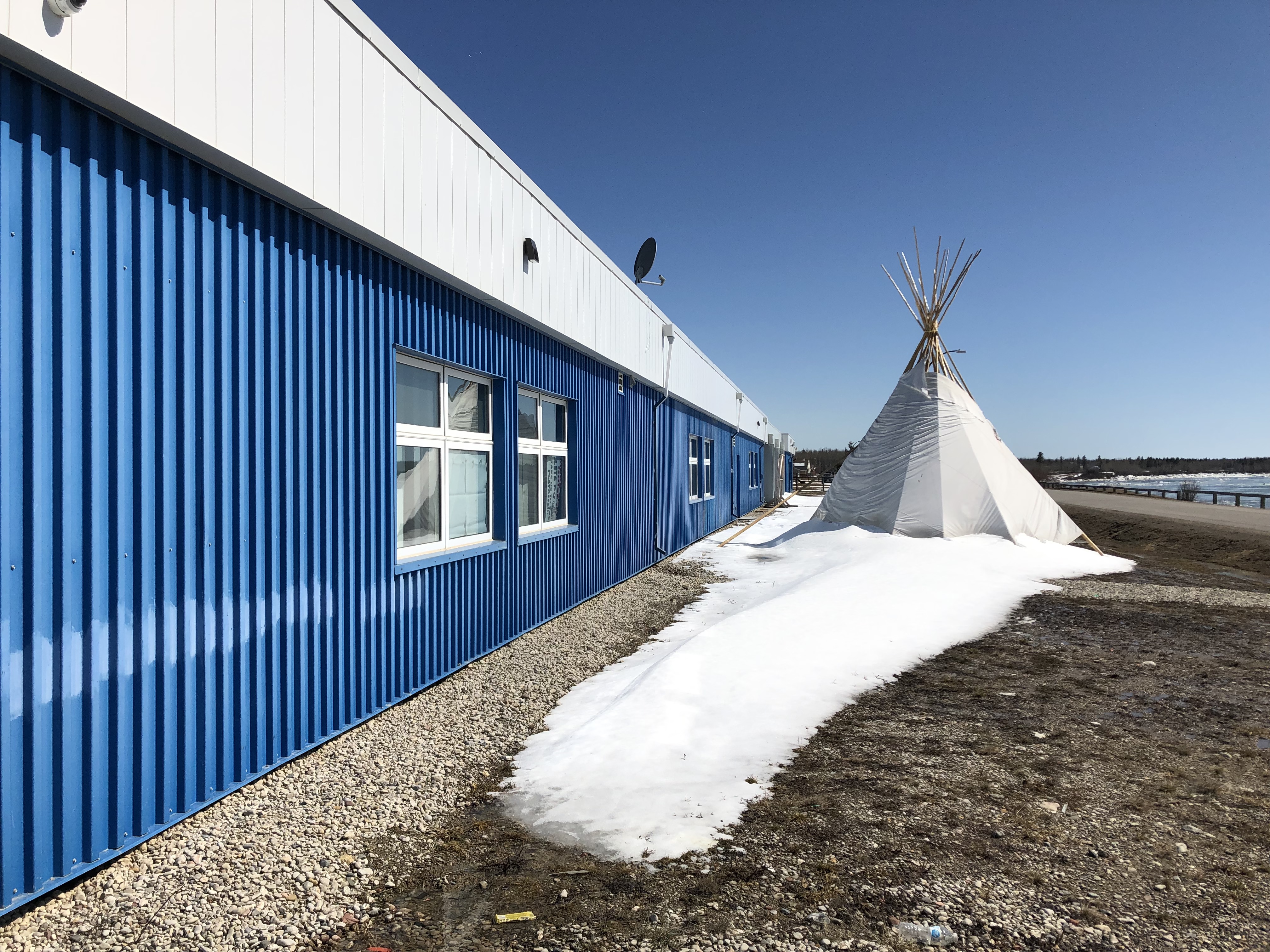
From the Falls, we continued north along the Hay River near the south side of the Great Slave Lake on to the Mackenzie River. The small Indigenous village of Ft. Providence is beautifully situated on bluffs overlooking the Mackenzie, the longest river in Canada. The ice had broken, and the river was making time here on its way north to the Arctic Ocean. The river becomes an ice highway for cars during the frozen time of winter but today it was blue and fast. The Aurora School in Ft. Providence contained a small library open to the community. I walked into the office with my camera gear wearing my Ukrainian flag cap. The principal immediately recognized the flag, smiled and said he was of Ukrainian ancestry. I photographed some wonderful symbols of this village’s Native heritage in the library such as a small teepee and Native language books. I then went outside and photographed a large teepee in front of the building in the snow. In this region the teepee is a ubiquitous symbol of Native America.
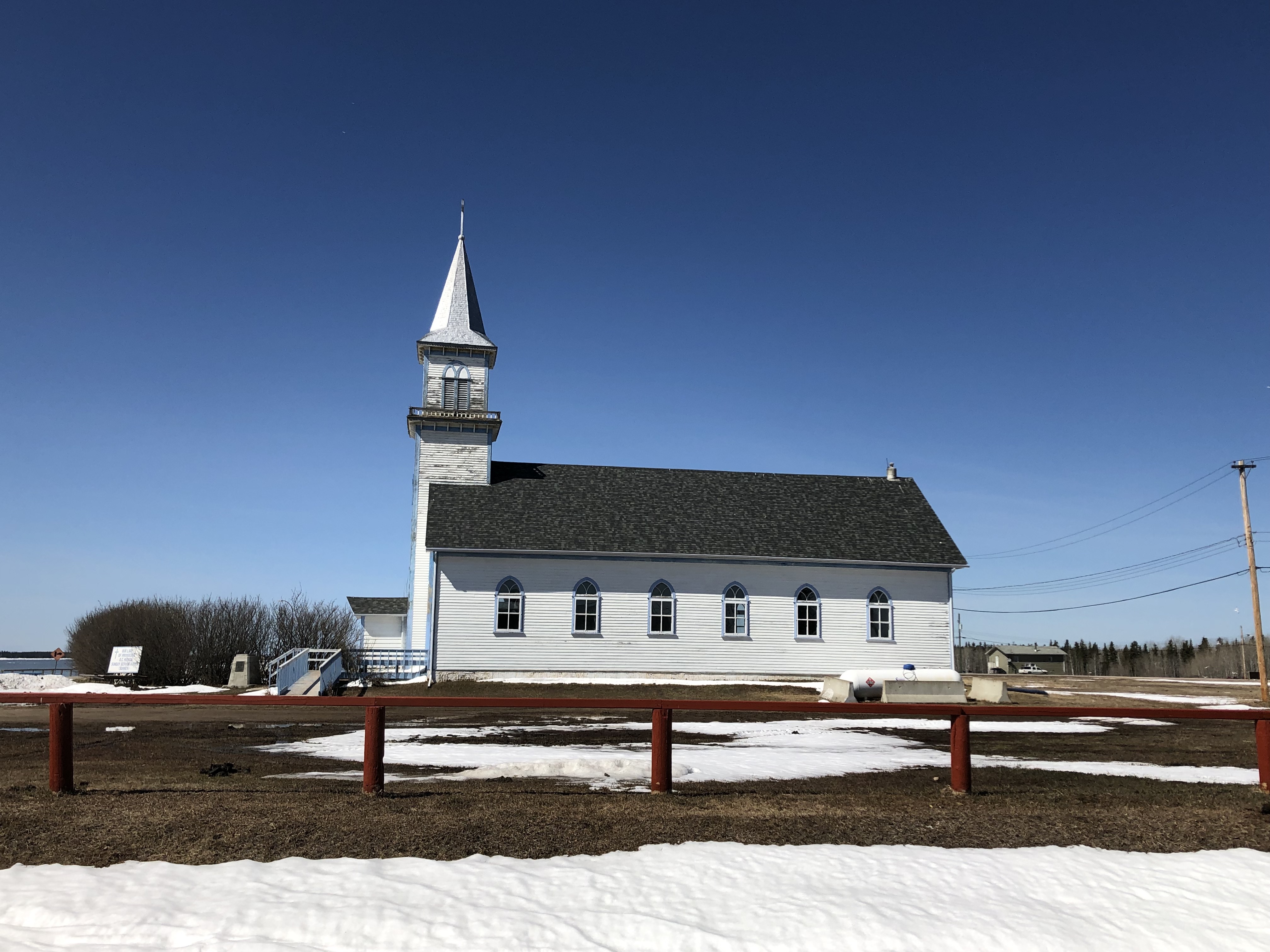

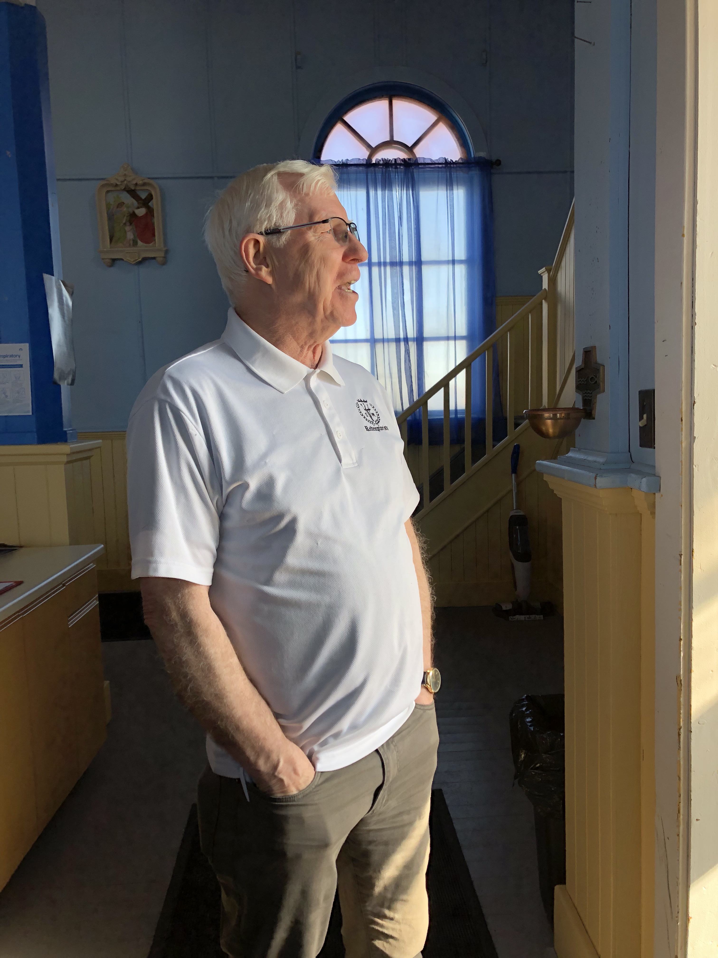
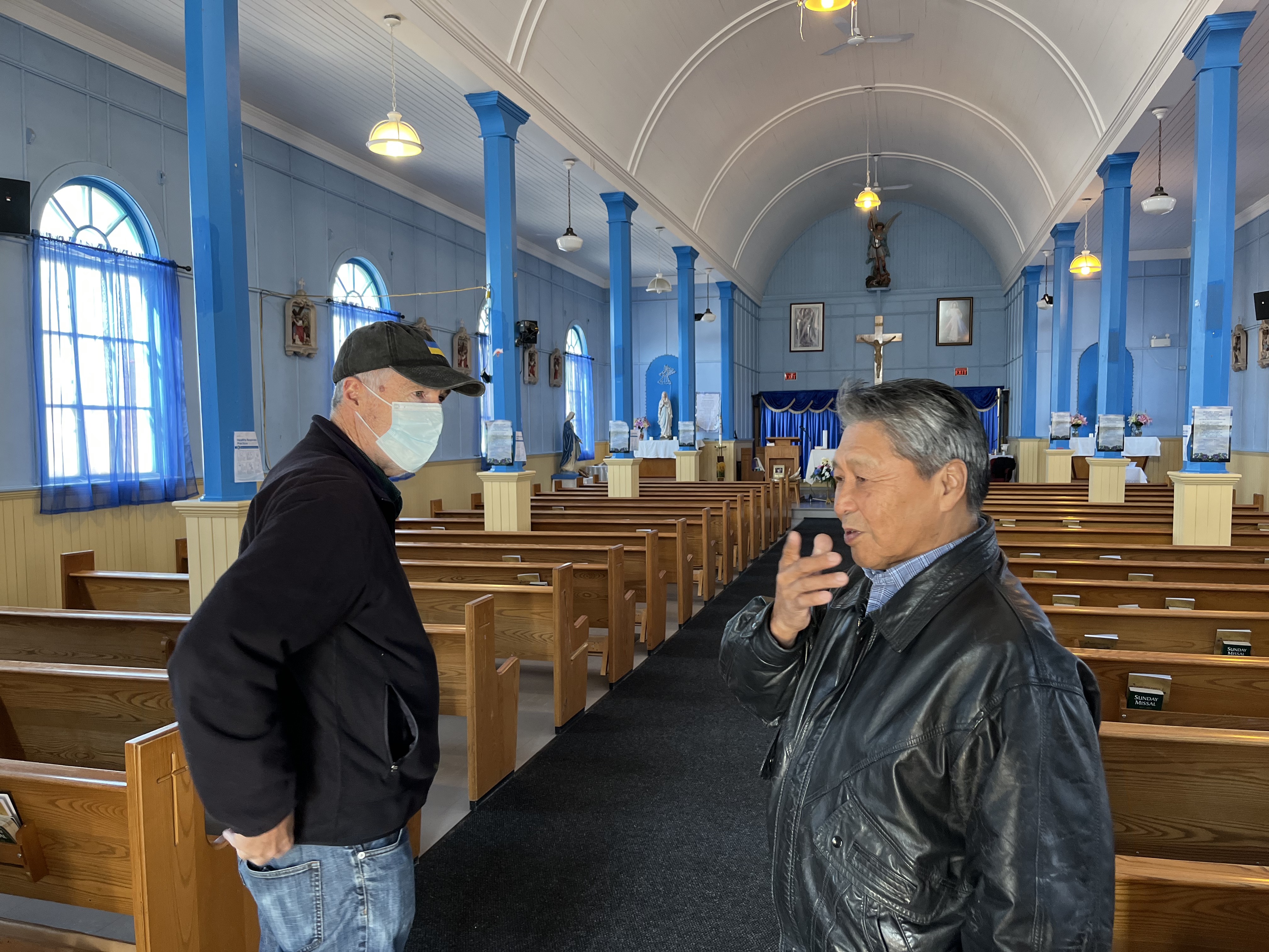
Heading north, we drive over roller coaster bumps caused by the melting underground permafrost through bogs, taiga and pinkish outcrops of Canadian Shield rocks. We follow the Mackenzie Bison Sanctuary which is home to Canada’s northernmost population of around 4,000 free-ranging Wood Bison. The animals are bigger than our car and have tempers, so we give them a wide birth as we slowly pass them by. We continue our long-haul journey to the northern most spot on our journey – the Native village of Behchokó. This is the largest of the NWT’s First Nations. This area had no community library, but we felt it important to see this remote but busy Indigenous village. After we got out of our car, we were dazzled by the crisp, clear light and the clean, bracing air. We stood on the banks of the North Arm of the Great Slave Lake and tried to soak it all in. I even photographed the Prius next to the water to prove to myself that we had really made it to the Arctic. Next to us was a beautiful old wooden church where we met a gentle local Native man who was my age and had lived here all of his life. We also met Father Mickey who came from Eastern Canada and now led this humble church as a missionary and community leader. In some ways, Benchokó represented our ultimate point north into Arctic Native America. From here, we turned east and slightly south driving along the edge of the Great Slave Lake to our final destination of Yellowknife.


Fascinating trip I love the photo of the Canada Map carpet
Get Outlook for iOS ________________________________